Central Montana Offers Spectacular, Diverse Landscapes (Part 2 of 2)
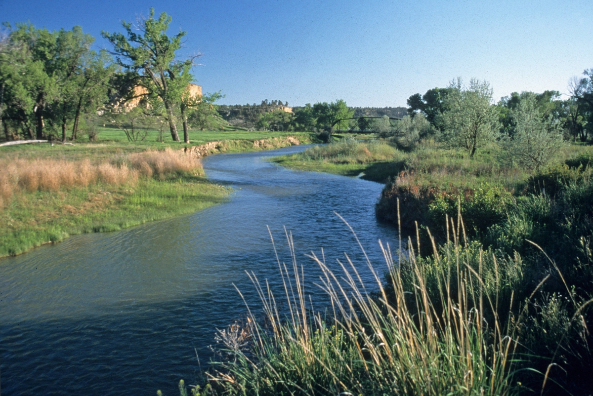 The Musselshell River flows below Rygate. (Photo by Rick and Susie Graetz)
Old trails traversed central Montana. First there was the Musselshell, leading from the confluence of the Musselshell and Missouri rivers to the south and then westward. Arriving on steamboats, passengers and freight were loaded onto stagecoaches and wagons, which then followed the trail toward Helena through the Musselshell Valley. In 1874, the Carroll Trail, out of the old town of Carroll north of Lewistown on the Missouri River, took over as the main route.
This course, used by the Indians and settlers, crossed Judith Gap, a wide, windy, blizzard-prone pass that after leaving the Missouri Breaks led from the Judith Basin near Lewistown to the Musselshell Valley at Harlowton. Later, the Great Northern and Montana railways put down tracks through Judith Gap.
In the 1870's, western Montana stockmen could see the value of moving their herds to the nutritious tall – and free – grass of central and eastern Montana. Granville Stuart, who is often called “the father of Montana,” was one of the first to realize this. He then built headquarters for his and his partner’s cattle empire, the DHS ranch, at the base of the north side of the Judith Mountains near Lewistown.
In the days of the open range, the Judith Basin Cattle Pool was one of the largest of the early open range outfits. Investors purchased cattle and hired cowboys to run the pool. Utica, near the Judith River and on the east side of the Little Belt Mountains, was a center for this activity and the place where cowboy artist Charlie Russell began his career by sketching, on a piece of cardboard, a dying cow depicting the terrible winter of 1876-77.
Here, the Judith River drains the Little Belt and Judith mountains then flows into the Missouri River just west and north of Lewistown. Captain William Clark of the Corps of Discovery named the attractive river for his girlfriend in Virginia.
Bison once owned the Musselshell Valley. But it was here, in about 1888, an unknown person killed possibly the last wild bison in Montana. The valley was also the last stand of the bison and Indian trading posts.
By 1875, there were an estimated 10,000 head of cattle in the valley. Like the Judith Basin cattlemen, ranchers also organized here; their outfit was the Musselshell Association. Cowboys gathered all of the herds in the entire 150 miles of the valley, then moved the cattle along the range into strategically placed corrals. Eventually, the herds were sorted by brand. A single roundup could employ 60 men and use 300 horses.
Sheep, especially in the upper Musselshell and in the Martinsdale region, were just as important as cows.
Like the Judith Basin, the Musselshell is very historic with old ranches, big cottonwoods, sandstone and cliff outcroppings. A great blend of mostly undisturbed landscape, ranches and small communities are well spaced.
The Milwaukee Railroad, which took over the Montana Railway, helped build the communities of the Musselshell. Roundup grew out of their need for coal for the steam locomotives, with the ore being mined in the nearby Bull Mountains. The Milwaukee has long since gone, although Roundup and other Musselshell Valley communities still hang on with an agricultural-based economy.
Central Montana’s major river is the Musselshell. Born from waters in the Castle, Crazy and Little Belt mountains, it heads east to Melstone then abruptly turns north to the Missouri River, meeting it at the UL Bend on the Charles M. Russell National Wildlife Refuge.
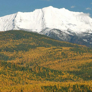
The island mountains of this region of Montana can be seen from great distances, but another major central Montana landform also is visible from many points. Created by volcanic activity, Square Butte, north of Stanford and an outlier of the Highwood Mountains, is a big igneous block with a slightly tilted top and steep sides rising from cultivated fields. In geologic language, Square Butte is a laccolith, formed when molten rock squirted up through a dike and formed a bubble, or blister, under the sediment. Erosion eventually removed the sediments. Most of the known laccoliths in North America are found in north central Montana.
This has been a quick look at central Montana and – like most of the state – its uncommon geography!
Rick and Susie Graetz | University of Montana | Department of Geography