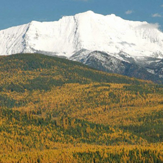
Montana's First Written History
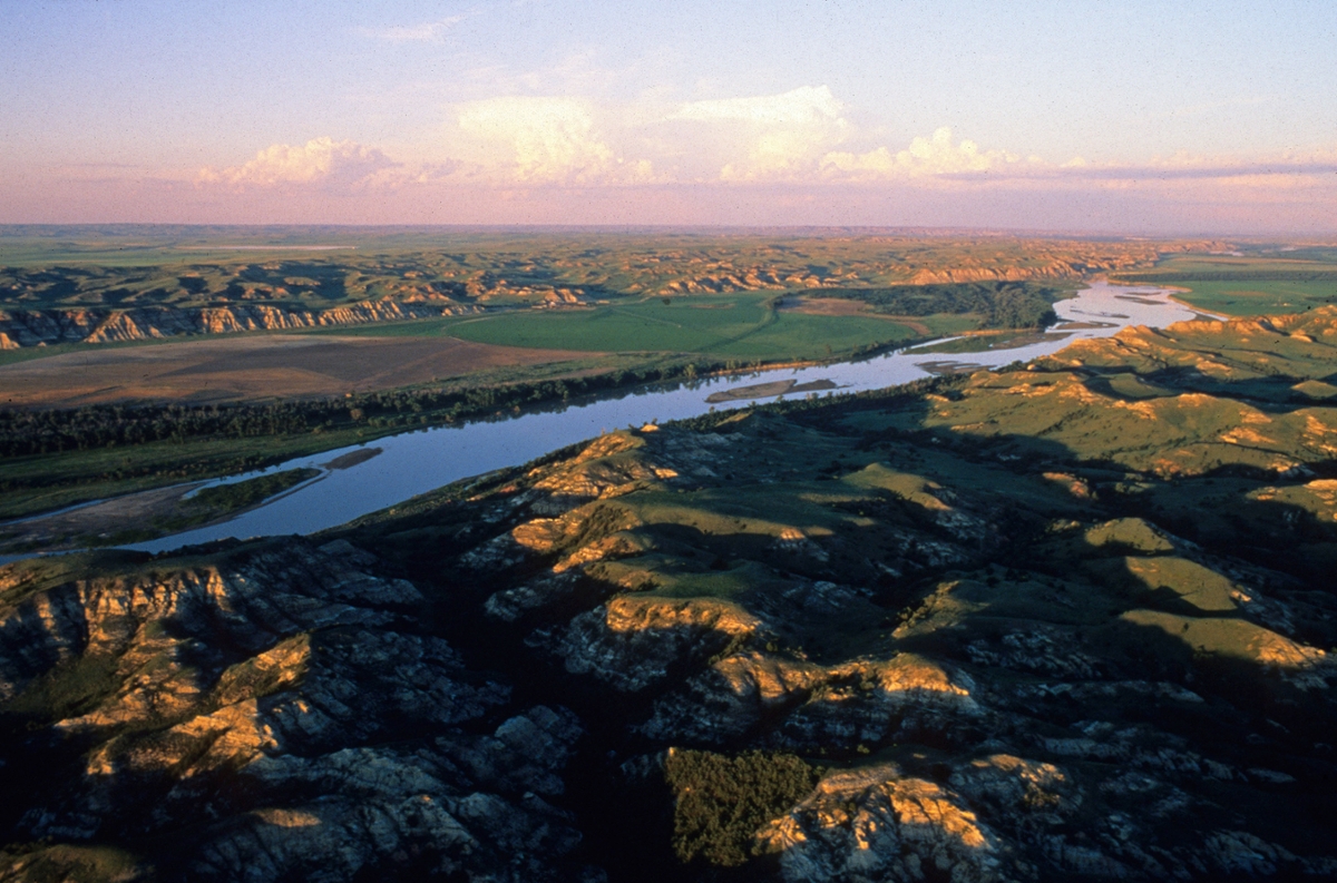 Missouri River above Yellowstone confluence: The Missouri River flows east a few miles upstream from its confluence with the Yellowstone. (Photo by Larry Mayer)
Location: Northeast Montana near today’s Snowden Bridge just west of the confluence of the Missouri and Yellowstone rivers.
In the evening of a day that saw the Corps of Discovery cross into what would become Montana, Captain Meriwether Lewis put words to paper and commenced the first written history of Montana. Heretofore everything was oral. What follows are some of those sentences, excerpted from the original journals of Lewis & Clark as penned April 27, 1805:
“This morning I walked through the point formed by the junction of the rivers; the woodland extends about a mile … here a beatifull level low plain commences and extends up both rivers for many miles, widening as the rivers recede from each other … on the Missouri about 2 1/2 miles from the entrance of the yellowstone river … a small lake is situated about 200 yards wide extending along the edge of the high plain parallel with the Missouri about one mile. on the point of the high plain at the lower extremity of this lake I think would be the most eligible site for an establishment…this site recommended is about 400 yards distant from the Missouri and about double that distance from the river yellowstone; from it the high plain, rising very gradually, extends back about three miles to the hills, and continues with the same width between these hills and the timbered land on the yellowstone river, up that stream, for seven or eight miles.... I continued my walk on shore; at 11 A. M. the wind became very hard from N. W. insomuch that the perogues and canoes were unable either to proceede or pass the river to me; …the wind abated about 4. P. M. and the party proceeded tho' I could not conveniently join them untill night. altho' game is very abundant and gentle, we only kill as much as is necessary for food…for several days past we have observed a great number of buffaloe lying dead on the shore, some of them entire and others partly devoured by the wolves and bear. those anamals either drownded during the winter in attempting to pass the river on the ice during the winter or by swiming acrss at present to bluff banks which they are unable to ascend, and feeling themselves too weak to return remain and perish for the want of food; in this situation we met with several little parties of them. beaver are very abundant. The Eagles, Magpies, and gees have their nests in trees adjacent to each other; the magpye particularly appears fond of building near the Eagle, as we scarcely see an Eagle's nest unaccompanyed with two or three Magpies nests within a short distance. The bald Eagle are more abundant here than I ever observed them in any part of the country.”
Lewis was not the only member of the corps who documented the journey, just the most diligent, diverse and prolific. William Clark scripted his accounts, but he was principally the cartographer.
As described above, the landscape has changed little; but the actual confluence of their time is now approximately 2 miles to the northeast. Historic maps made by early scientific expeditions show a stable confluence well after Clark made his chart of the area. Then in the 1930s, an enormous ice jam caused both rivers to escape their banks, resulting in a shift of the channels and causing widespread flooding along the Missouri and Yellowstone valleys. A recent Landstat image clearly shows the meander scars, indicating the two rivers’ former paths and mixing spot. The aerial photo also reveals Nohly Lake as depicted by Lewis in his writing. Today, this body of water has nearly disappeared.
In relation to the captains’ discussion of possible sites for a trading fort near the confluence, the American Fur Company in 1828 established Fort Union, the first fort on the Upper Missouri. Perhaps owing to flooding concerns, it was built two river miles west of and with a view of the confluence.
Today, an exact replica of the original structure exists on the former site. However, due to the dynamics of the ever-changing Missouri, the river is about 200 yards south of the post, and it is no longer possible to see the confluence, which is now three river miles away.
Rick and Susie Graetz | University of Montana | Department of Geography