Eighteen Mile Peak – A Southwest Mountain Sentinel
EIGHTEENMILE PEAK – A SOUTHWEST MONTANA SENTINEL
Rick & Susie Graetz
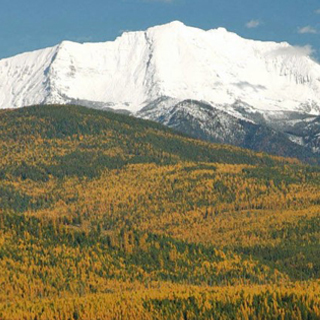
Eighteen Mile Peak, 11,185’ is the highest point on the Continental Divide between Banff, Alberta and the heart of Wyoming’s Wind River Range. Reaching to the sky from the remotest region of Southwest Montana, the sprawling sagebrush choked Big Sheep Creek Basin, the topography in the shadow of the peak is long on scenic beauty and short on human presence. Large ranches are well scattered and for the most part out of sight. Time has stood still here.
And as it is part the Beaverhead Range that defines the Montana-Idaho frontier for more than 175 miles, its north and south ridges and summit carry the border as well as the Divide.
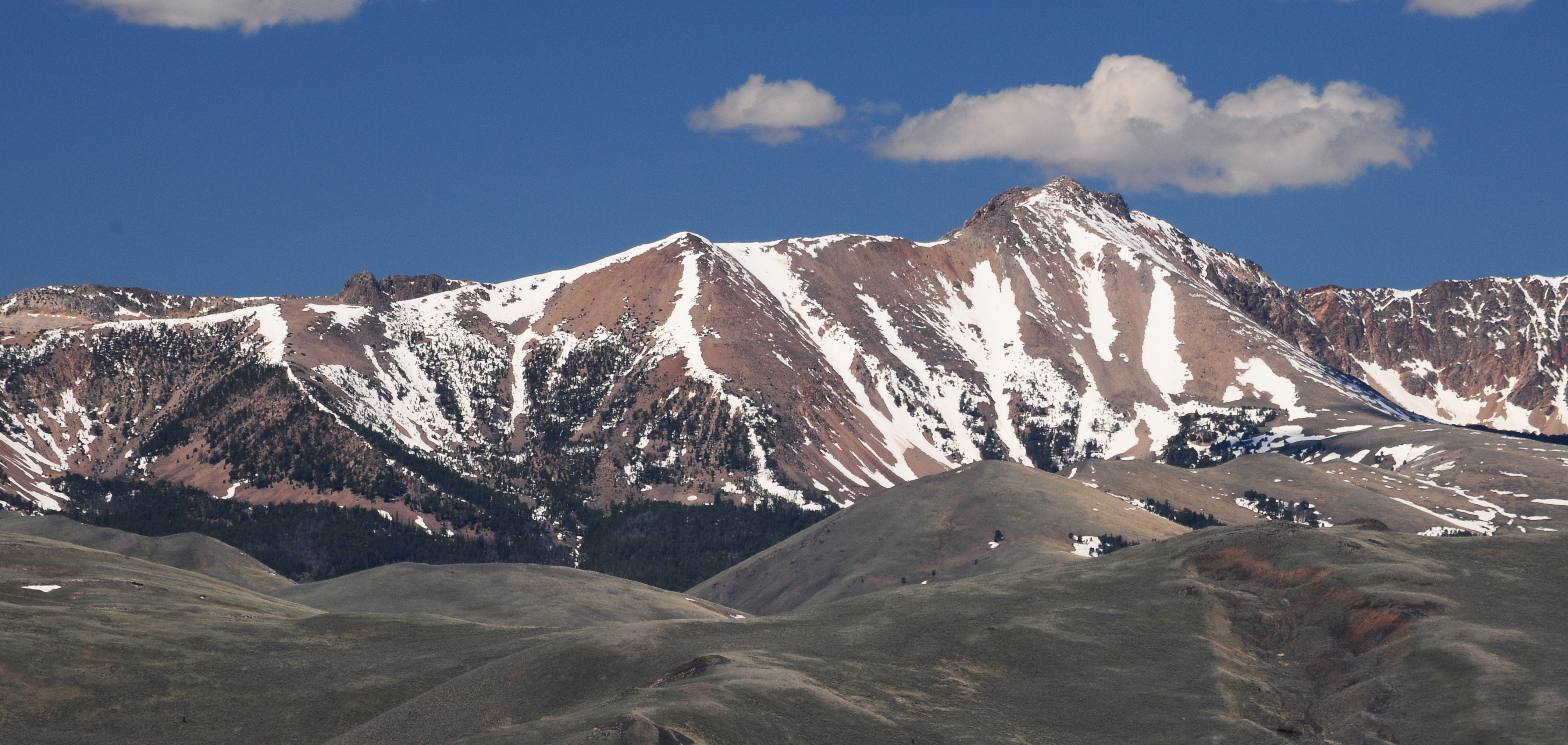
Trees on the mountain, except in pockets, are sparse and views expansive for the entire ascent. From the summit, numerous mountain ranges in Idaho and Montana soar in every direction. On the near eastern horizon, the Tendoys, Lima Peaks and Red Conglomerates make their presence abruptly known. Further down range to the south, Italian Peak, Montana’s southernmost point is clearly visible. The sunset side shows Idaho’s Lemhi Range and its loftiest apex, 12,195’ Diamond Peak. To the north the distant high peaks of the East Pioneers are visible.
Perhaps it can be said that the panorama from atop this prominent pinnacle exhibits a microcosm of the interior mountain west and serves as a live textbook view of basin and range geography; wide valleys edged by quickly ascending mountains.
Big Sheep Creek Basin and the approaches to Eighteenmile are best reached by way of the Big Sheep Canyon Road west of Dell and just north of Lima. Scrambling up the northeast ridge is the easiest way to scale the mountain.