Absaroka-Beartooth Mountains Represent the Roof of Montana (Part 1 of 2)
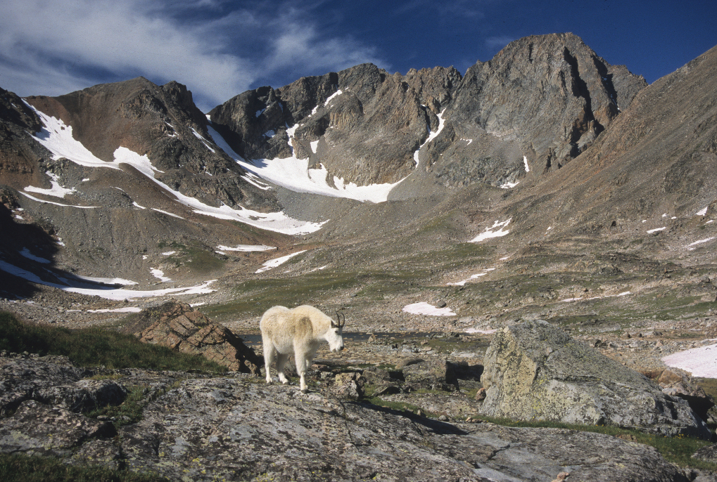
A mountain goat roams the Sky Top drainage below the south face of 12,799-foot Granite Peak – Montana's highest summit located in the Beartooth Mountains. (Photo by Rick and Susie Graetz)
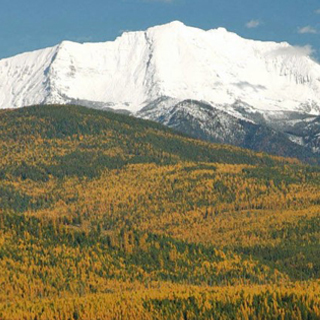
Heading up the Yellowstone River Valley through breaks and bluffs, a formidable piece of country appearing like a long white wall, comes into view far out on the southwest horizon. A massive uplift, the Absaroka-Beartooth Mountains, one of America's great pieces of high and wild landscapes, looms ahead.
And awesome it is – the roof of Montana where the highest summits in the state soar above an already cloud-piercing plateau.
This land in the sky was named in part for the Absaroka people, the Crow Indians. The Beartooth Spire, which can been seen form Beartooth Highway and is called "Na pietsay" by the Crow, is responsible for the Beartooth moniker.
The A-B, as it is sometimes called, consists of two distinct ranges separated on the north by the Boulder River as it flows out of the mountains through a precipitous gorge to the Yellowstone River. On the south, the range’s seamline is less definitive.
The Beartooth crags climb to the east and consist mostly of bare land above treeline. Glaciers fill high cirques and cling to north-facing headwalls of some of the highest ridges and summits. More than 400 inches of annual snow helps maintain perennial snowfields and glaciers, and is the reason much of the high country is still under significant snow cover into late July.
Somewhat lower, but very rugged and with a heavier forest cover, the Absarokas rise on the west side of the Boulder River. They see fewer visitors than the Beartooth and are more difficult to navigate.
More than three-fourths of the A-B is above timberline and elevated enough to hold tundra soil. Nine major drainages pour out of the higher reaches, giving the Yellowstone River, between Yellowstone National Park and Billings, one-third of its flow. Estimates of the number of lakes are close to 1,000.
Unroaded segments of the complex cover more than 1,135,000 acres. Most of it, 920,324 acres, is federally designated wilderness.
Together, the Absaroka-Beartooth boasts of more than 120 peaks over 10,000 feet in elevation. Twenty-eight of them top 12,000 feet, including Montana’s highest, 12,799-foot Granite Peak.
Owing to elevation of the Absaroka-Beartooth Mountains, this lofty terrain is scoured by wind and at times ferocious weather. Summer thunder and lightning storms accompanied by hail can be frightening at times, and snow is possible even in July and August.
University of Montana | Department of Geography | Rick and Susie Graetz