Bannack: Gold Fuels Montana's First Territorial Capital (Part 1 of 4)
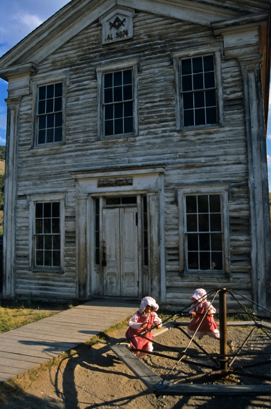
Girls in period dress play before the Bannack Masonic Hall and first school house. (Photo by Rick and Susie Graetz)
In early September 1862, freighters from Utah were heading for customers in the Deer Lodge Valley when they heard of this latest gold strike. Realizing they could shorten their trip and sell the goods in Bannack, they made an impromptu detour. This decision no doubt helped many of the miners survive the coming cold months.
When winter arrived, the camp wasn’t exactly what could be labeled a town. Those who came first had no intention of staying. Get the gold and move onto another place was their motto. Few “buildings” had any semblance of permanency. New provisions arrived erratically as wagon trains were often delayed by the weather.
Getting to Bannack from anywhere was an enormous effort. Those brave or desperate enough to chance fate had to contend with long distances over rugged terrain, wild and unpredictable weather such as fierce blizzards and monumental snowstorms, and Native Americans who were unhappy with this latest invasion by the white men.
By spring 1863, 3,000 people found their way to Bannack. Another 2,000 were living up and down the gulch in four other settlements: Marysville, Bon Accord, New Jerusalem and Dogtown.
Granville Stuart felt Bannack was the place to be. But instead of digging for gold, he and his brother had its commercial possibilities on their minds. In November 1862, they arrived in town – James to open a store and Granville a meat business with the cattle he drove to Grasshopper Creek. Granville didn't stay long, though. By April 1863, he had closed his business, sold everything except some land and a couple of houses and returned to the Deer Lodge Valley, which was more appealing to him.
Like the Stuart brothers, others saw profits in providing goods and services. Less than a year after White’s discovery, the main street was lined with saloons, stables, meat markets, general stores, two bakeries and several hotels. Brothels, dance halls, a bowling alley, a Chinese restaurant and a brewery added to the mix, as did doctors’ and lawyers’ offices. Tailors, carpenters and blacksmiths also were part of economic development in Montana’s first capital.
For the first seven years, merchandise was shipped to Bannack in one of three ways. Steamboats loaded with goods from St. Louis and points east plied the Missouri River as far as Fort Benton, where supplies were transferred to wagons that forged a 300-mile road to the town. Provisions also came overland from California to Lewiston, Idaho, then by pack string to the mining camp. Finally, land freighters made the long haul west from St. Louis to Salt Lake City.
To connect from Salt Lake City to Bannack, freighters blazed a rough 300-mile road across the prairie country of southeast Idaho. On May 10, 1869, the tracks of the Union Pacific and Central Pacific railways met at Promontory, Utah, the “golden spike” was driven, and the nation's transcontinental railway was completed. The nearby town of Corrine, Utah, 70 miles north of Salt Lake, grew as a transfer point for passengers and freight to be loaded onto wagons and stagecoaches headed to the gold camps and towns of Idaho and Montana. The time it now took to get to the Rockies from St. Louis was greatly diminished.
Traffic over Bannack Pass increased steadily as the freight road became a favored route. During the height of its life, five well-spaced stage stations provided food and shelter to travelers within the 60-mile stretch between Bannack and the pass. By 1873, though, 11 years after its inception, use dwindled as the area’s gold began playing out.
Today, the old wagon ruts of the Corrine-Bannack route can still be seen as they point southward up the hill out of Bannack. Modern-day explorers are able to trace the old road, most of which is now a well-maintained gravel and dirt county road that is impassable in wet weather and snow- clogged in winter. Where the original trail crossed through the bottoms in Nicholia Basin, the route is yet visible. The county road somewhat parallels the old path, then rejoins it before reaching the Continental Divide.
University of Montana | Department of Geography | Rick and Susie Graetz