THE ITALIAN PEAKS
 THE ITALIAN PEAKS
Rick and Susie Graetz
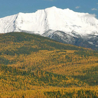
A little-known piece of Montana geography, the Italian Peaks, a compact gathering of mountains in the state’s far southwest corner represents the southernmost reach of Big Sky Country. And they are part of the 175-mile-long Beaverhead Range that forms much of the Montana/Idaho state line and ferries the Continental Divide along its crest. The summit of the range’s namesake, 10,928’ Italian Peak, marks the furthest point south and is on the watershed divide.
Scott Peak, 11,378’, loftiest in these rises, is wholly in Idaho and is the mountain in the middle of the photo. Italian Peak shows on the right side of the image just left of the cloud.
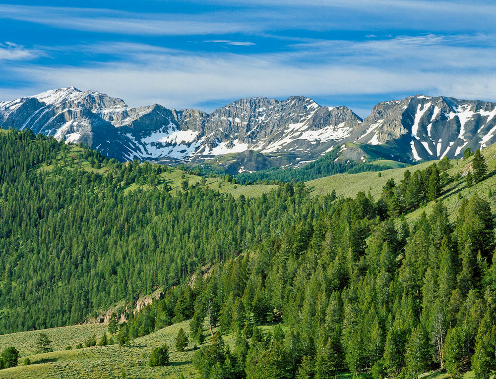
This scene was taken from a point on the Continental Divide above and east of the historic Bannack Freight Road, a rough passage that rises from Big Sheep Creek Basin, traverses the Divide, and lowers sharply into Idaho.
Most of the area shown is part of the 300,000-acre Italian Peaks Roadless Area and is best reached from Dell, Montana via the Big Sheep Backcountry Byway.