Places to Ride

BIKING MISSOULA
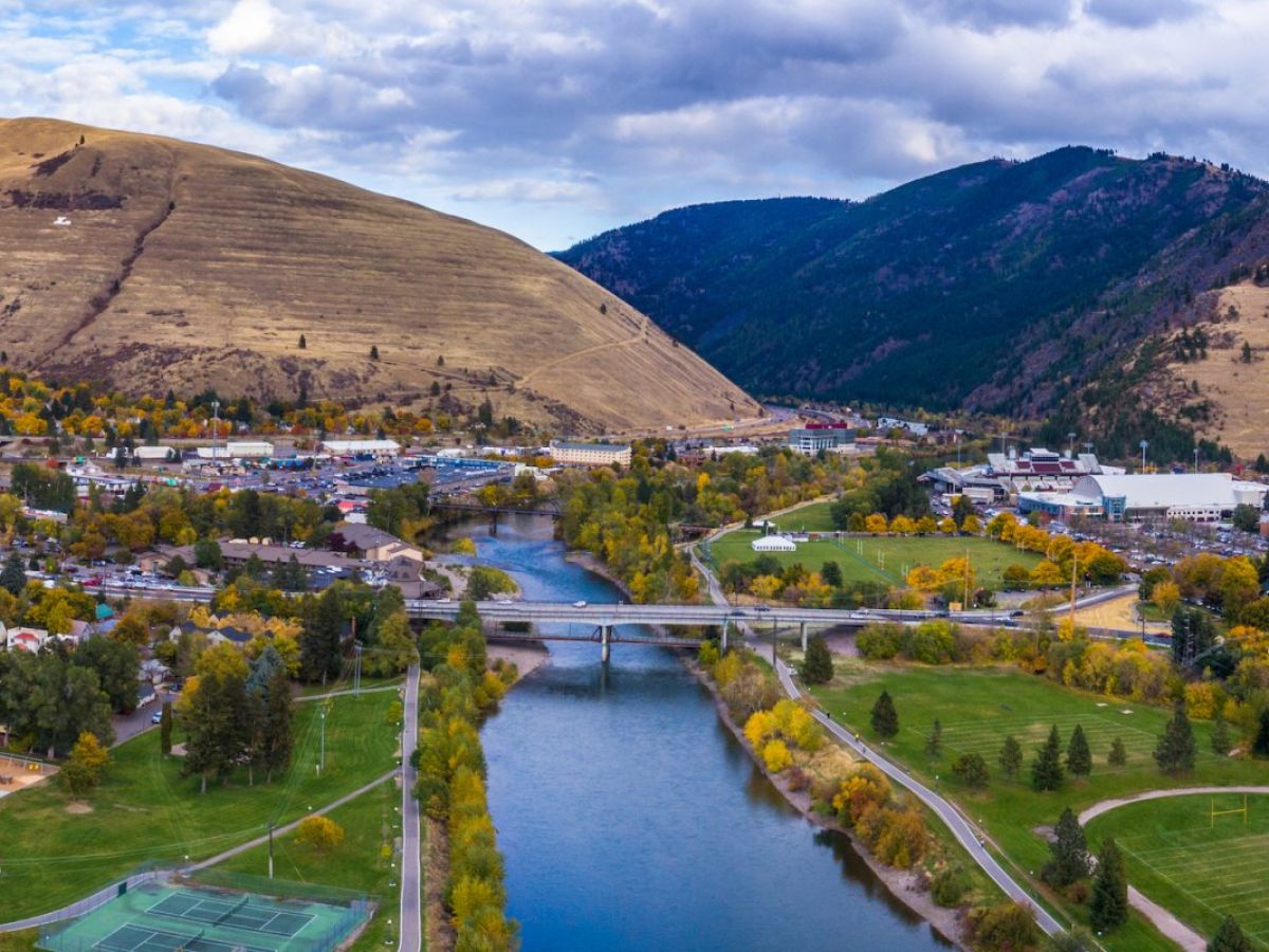
There are a number of trails and pedestrian bridges in Missoula to ensure that bicycling and walking are safe and accessible options for everyone. Check out the City of Missoula's interactive online biking map to help reach your destination.
Trails:
The Missoula trail system is constantly changing and expanding. There's no better way to explore this beautiful town than by going on a ride.
- Kim Williams/Milwaukee Trail - This trail will take you from UM's campus to Reserve Street following along the Clark Fork River for most of the way. The trail is paved from Reserve Street to campus. East of campus, the trail is gravel and continues all the way to East Missoula. Warning: the gravel section can be dangerous in the winter months due to icy conditions.
- Bitterroot Trail - The last piece of the Bitterroot Trail was finished in 2018, and now riders can travel all the way from downtown Missoula to Hamilton, a distance of roughly 50 miles, all the while paralleling the Bitterroot Mountains! Visit the Bitterroot Trail website to learn more.
- Rattlesnake Creek/Broadway Crossing (RUX) Trail - a short connection from the Van Buren/Broadway intersection to Pine St (loops behind Five Guys). This is a great low-traffic route option from campus to downtown.
- Grant Creek Trail - just north of I-90 on Reserve Street, a beautiful trail that takes you past the Rocky Mountain Elk Foundation and a nature reserve, following Grant Creek for about 3 miles. Visit the Grant Creek Trail website to learn more about the trail and its future
- Northside Trail - a short connection in the Northside neighborhood between Waverly St. and N 1st Street.
- Greenough Park Trail - a beautiful trail along Rattlesnake Creek, and a great commuter connection for those living in the Rattlesnake area.
- Riverfront Trail - a connection between Kiwanis and Caras parks along the north side of the Clark Fork River, this trail runs uninterrupted from the Madison St. pedestrian bridge to Orange St.
Pedestrian Bridges:
Van Buren Bridge, Madison Street Underbridge, California Street Bridge, Northside Bridge
The Reserve Street Pedestrian Bridge was completed in 2017, as part of the Bitterroot Branch Trail

Bridges with Bike Lanes:
Madison Street, Higgins Avenue, Orange Street, Scott Street, Reserve Street
NEARBY BIKING ADVENTURES
Route of the Hiawatha - just an hour and a half drive west from Missoula, the route of the Hiawatha is a 15-mile trail that was once a railroad. This route will take you through ten train tunnels and over seven trestles and is considered one of the most scenic bike routes in the country. Bike lights are required. The trail is open May-September.

North Idaho Centennial Trail - A two-and-a-half-hour drive west from Missoula, this trail meanders for 24 miles from Higgins Point on beautiful Lake Coeur d'Alene all the way to the Idaho/Washington state line.
Glacier National Park - A two-and-a-half-hour drive north of Missoula, Glacier National Park is a breath-taking, experience-of-a-lifetime kind of place. Biking the Going-to-the-Sun Road is challenging, but worth it for the experienced cyclist. The Going-to-the-Sun Road is typically open from mid-June through Labor Day. Check the website for snow and road conditions.