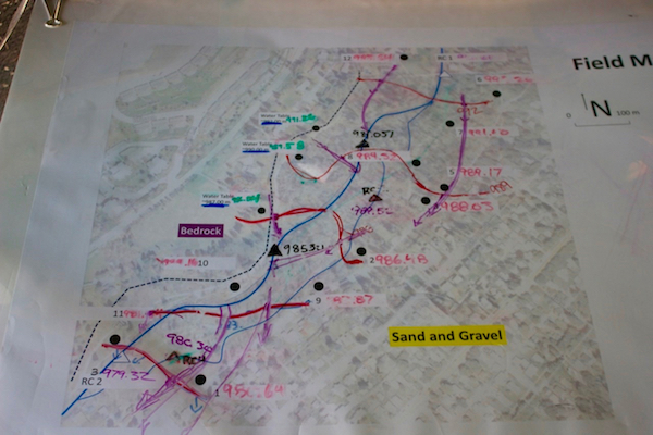
Data is collected at the field site by groups of students working with MGA scientists and educators. Students are taught how to obtain consistent and accurate ground and surface water elevation measurements and multiple measurements are taken for each well. Data are averaged, and error and uncertainty in measurements is discussed. The MGA data is uploaded to citsci.org