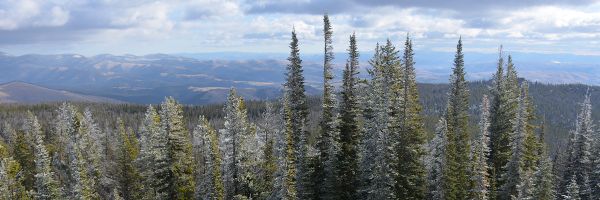
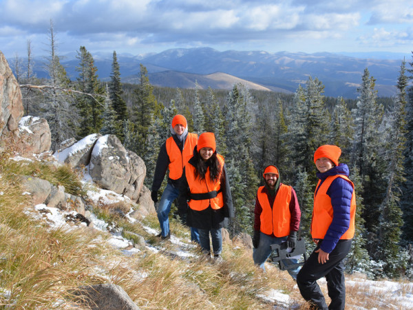
Measuring Ground Deformation in Mountain Watersheds
A multi-institutional collaborative award from the National Science Foundation, the project is headed by UM Geosciences Assistant Professor Hilary Martens, who has a background in space science, planetary science and geophysics. The project will use GPS to track changes in the shape of the Earth from the storage and flow of water. GPS receivers can determine the sagging of Earth’s surface under the weight of water to the accuracy of 1 mm, and the team will use that information to estimate the total amount of water added or removed from a watershed daily or over a period of years. Martens will process and analyze the GPS data, as well as develop models to predict changes in the Earth’s shape due to the differing water amounts.
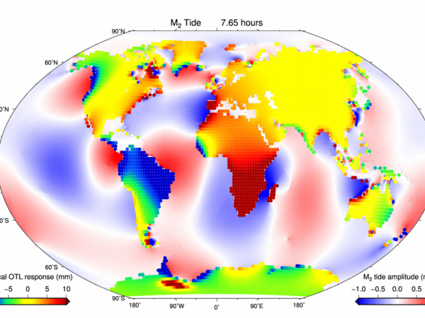
GPS Observations of Ocean Tides
Martens will examine the relationship between ocean tides and changes in the shape of the Earth. The project will use GPS to measure how the Earth flexes and deforms under the shifting weight of the ocean water, which will provide new knowledge on the materials that make up the layers of the Earth, according to Martens.