Classification Projects
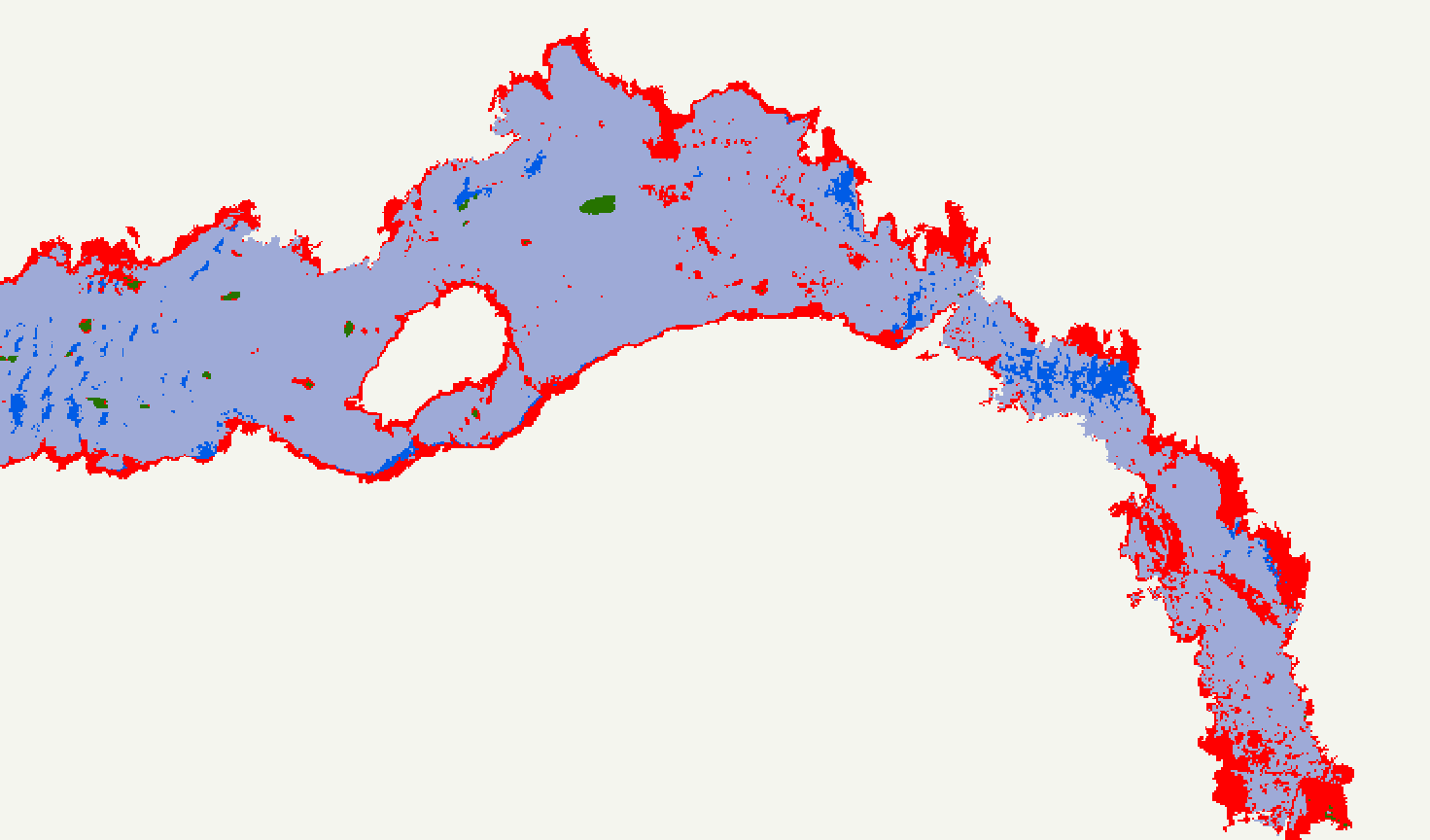
Our office has undertaken several projects involving classification or categorization of pixels into different groups using machine learning. One such project involved mapping nearly 50 acres of terrain in order to classify it as rock, vegetation or bareground using a multispectral sensor. The imagery was first processed in Pix4D, after which we used ArcGIS to create training sets of manually classified pixels.
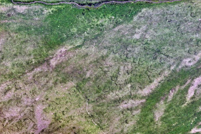
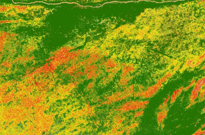
The accuracy of the 30+ maps produced was 96%. Above, you can see the red-blue-green (RGB) image on the left and the classified image on the right.