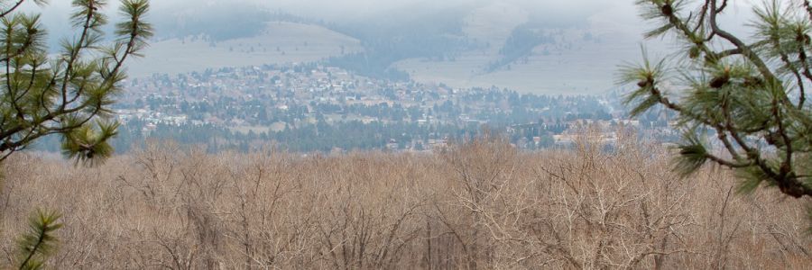
Woodland Draws
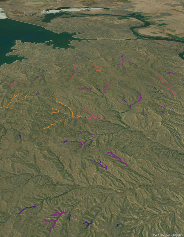
A birds-eye view of woodland draws mapped across a landscape in eastern Montana.
Woodland Draws (WD) are sites characterized by ephemeral or intermittent streams, woody vegetation, and are typically found in ravines situated in a larger grassland/plain ecosystem. They are vitally important for arthropods, songbirds, game animals, and soil/watershed health. We are interested in identifying, classifying, and monitoring WD habitats in the Northern Great Plains in conjunction with the Bureau of Land Management Glasgow Field Office. The important landscape functions of WDs are characterized by taxonomic, structural, edaphic, and hydrological factors. Determining the attributes of a given draw requires examining its ecological context: Is the draw on grazing land? Does the draw contain species not present in nearby draws? Does the draw play an important hydrological role for downstream ecosystems? Previous work to characterize these systems has relied heavily on qualitative site descriptions which can vary significantly between field workers and study regions. This presents a challenge for analysis and standardization of inventories of WDs. We are combining deep learning, field sampling, and remote sensing to produce: 1) A reliable inventory of WDs across very large areas 2) reliable classification of draw-level species occurrences, and 3) readily reproducible ways to monitor WDs across large areas.