Meet the Team
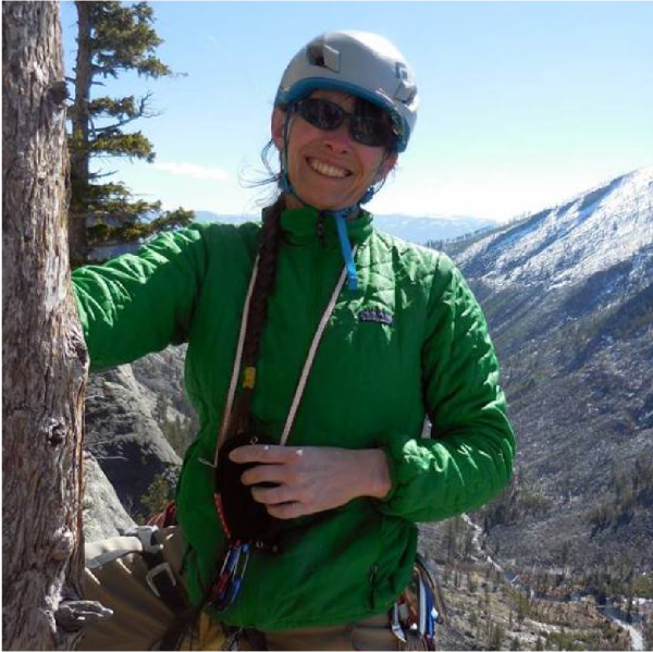
Jessica Mitchell
Jessica Mitchell joined the Spatial Analysis Lab as director in 2018. Her interests combine remote sensing with environmental assessment experience to advance new techniques for analyzing impacts and land management decision making. She is currently evaluating methods for scaling vegetation structure, canopy chemistry and biodiversity variables from leaves and individuals to plots, landscapes and regions. Some of the data she works with are traditional plot-based measurements; ground and airborne laser scanning (lidar) and reflectance spectroscopy estimates; and time-series satellite observations. Vegetation applications include mapping plant chemistry and forage quality; linking plant diversity across trait, species, functional and environmental variables; developing scalable high-resolution shrub structure products; coordinating teams to quantify the impacts of habitat decline on environmental and socio-economic resources; and advancing spectral digitization of plant collections. (Mitchell CV)
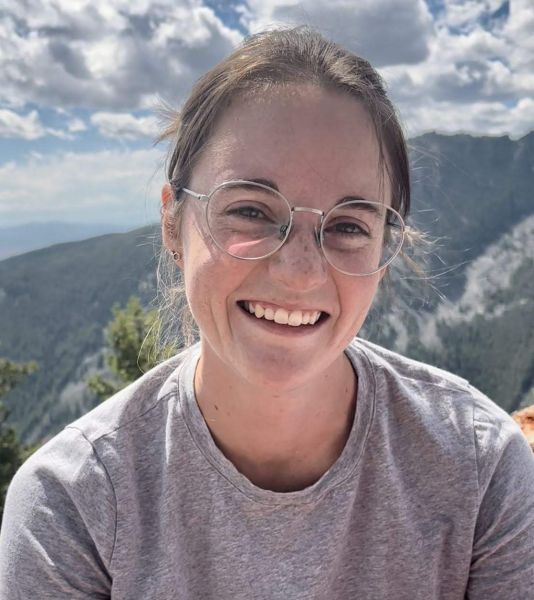
Rebekah Fields
Rebekah Fields is working as a Spatial Ecologist for the Spatial Analysis Lab after earning a Master’s degree in Systems Ecology from the University of Montana. Her research broadly includes ecological applications of machine learning, remote sensing, and vegetation-based species distribution models on top of a thesis understanding floral resource use by bumble bees. She most recently worked as a research assistant at Salish Kootenai College where she was involved with an NSF REU in the department of geosciences working with students to create their own research projects. She loves asking questions and understanding how everything works, from the smallest mushrooms to the largest landscape scale processes. (Fields CV)
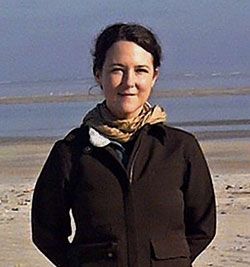
Claudine Tobalske
Claudine Tobalske, currently a faculty affiliate, has been at SAL since 2008. She has over 25 years of GIS experience in the field of natural resources conservation and management, starting as a Ph.D. student at SAL, then as a GIS analyst and ecologist for the Oregon Natural Heritage Information Center, on to her current position at SAL. Her interests range from wildlife habitat models to vegetation mapping using remote sensing at different scales, from 1m NAIP to 30m Landsat. She has extensive experience with the full suite of ESRI products and image analysis software such as Erdas Imagine and eCognition. (Tobalske CV)