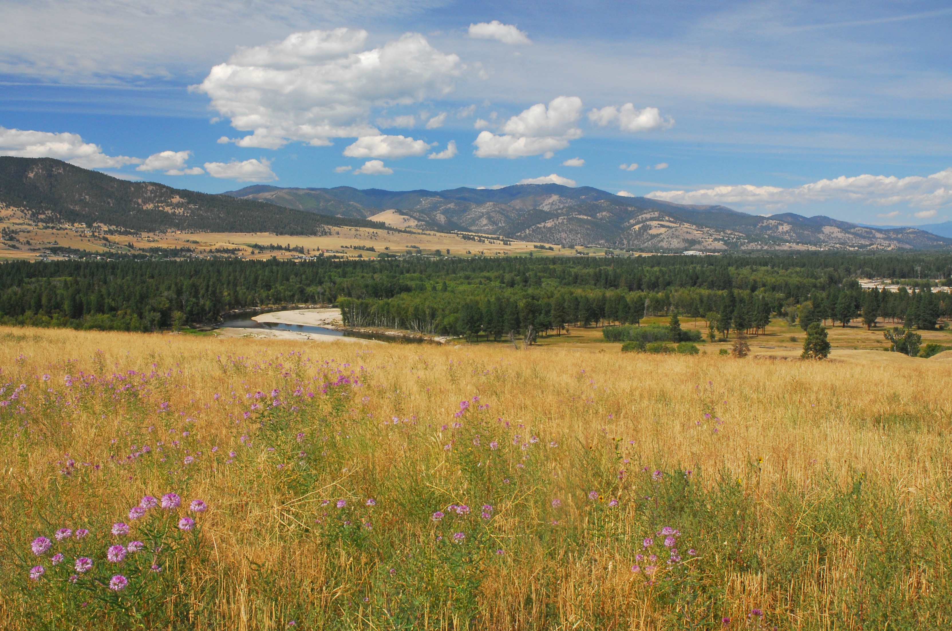
 Cottonwood trees bask in the summer sun along the lower Bitterroot River just above Lolo. (Rick & Suzie Graetz photo)
The Lewis and Clark expedition returned to the Bitterroot Valley on June 30, 1806, after spending the winter at rainy “Fort Clatsop” on the Oregon Coast. It was at “Traveler rest” that the leaders would split, with Lewis following a new route east and Clark retracing some of their steps to the Three Forks. From there he was to survey fresh country – the Yellowstone River. The day of parting day was July 3, 1806.
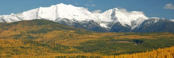
Dressed in its finest, the Bitterroot Valley was preparing to face summer. The array of colorful wildflowers, blending with the new mint green of the cottonwoods and aspens, was offset by the glistening white of the snow-covered Bitterroot Range. Amid this splendor, Clark traveled to the headwaters of the Bitterroot River. His trail passed familiar sights from the previous September and led to a crossing of the Continental Divide near Gibbons Pass, to the north of Lost Trail and Chief Joseph Passes.
Clark wrote of July 3, 1806, “we colected our horses and after brackfast I took My leave of Capt Lewis and the Indians with (19) men interpreter Shabono & his wife & child ... we proceeded on through the Vally of Clarks (Bitterroot) river on the West Side ... This evening we Crossed 10 Streams 8 of which were large Creeks which Comes roleing their Currents with Velocity into the river. those Creeks Take their rise in the mountains to the West (Bitterroot Range) which mountains is at this time covered with Snow … Some snow is to be Seen on the high points and hollows of the mountains to the East of us (Sapphire Range) ... we encamped on the north side of a large creek (Blodgett Creek north a few miles from Hamilton).”
Even after all of this time in the wilderness, Captain Clark was as patriotic as ever and couldn’t forget the Fourth of July. “This being the day of the decleration of Independence of the United States and a Day commonly Scelebrated by my Country I had every disposition to Selebrate this day and therefore halted early and partook of a Sumptious Dinner of a fat Saddle of venison and Mush of Cows.” With that done, it was back on the trail, fording the numerous creeks coming out of the Bitterroots. After first passing by Hamilton and later Darby, their camp that night was close to the confluence of the West and East Forks of the Bitterroot.
Long before Lewis and Clark came through the Bitterroot Valley, Native Americans used it as a thoroughfare and a hunting grounds. The Salish had their name for the waterway prior to the captains’ christening it. They called the northern part of the river “Place of the Bitterroot,” after the pink flowering plant they sought for its bitter tasting roots. A favorite source of food for Native people, Lewis brought samples back to St. Louis, introducing this new species to the world.
In Roberta Cheney’s book, “Names on the Face of Montana,” she lists a couple of more name tags. “The Flatheads (Salish) called the plant ‘Spet-lm’ ... ‘plant with bitter tasting root.’” She also says “the original (Native American) name of the river was Spet-lm-suelko ... the Water of the Bitterroot.”
Missoula took root at the place where the Bitterroot’s course is spent and it meets the Clark Fork. Two men, whose names are etched in the history of the area, Worden and Higgins, put up a trading post, and the small village of Hell Gate, the predecessor to Missoula, was open for business.
Darby, Hamilton, Stevensville, Florence and Lolo, as well as other valley towns, all claim the Bitterroot and tout it in their promotions. Sprawl from the north is rapidly invading the valley, but the river fights to hold its grace, passing by groves of cottonwoods, farms and pastures, as it represents the plant that became Montana state flower in 1895, the beautiful bitterroot.
Rick and Susie Graetz | University of Montana | Department of Geography