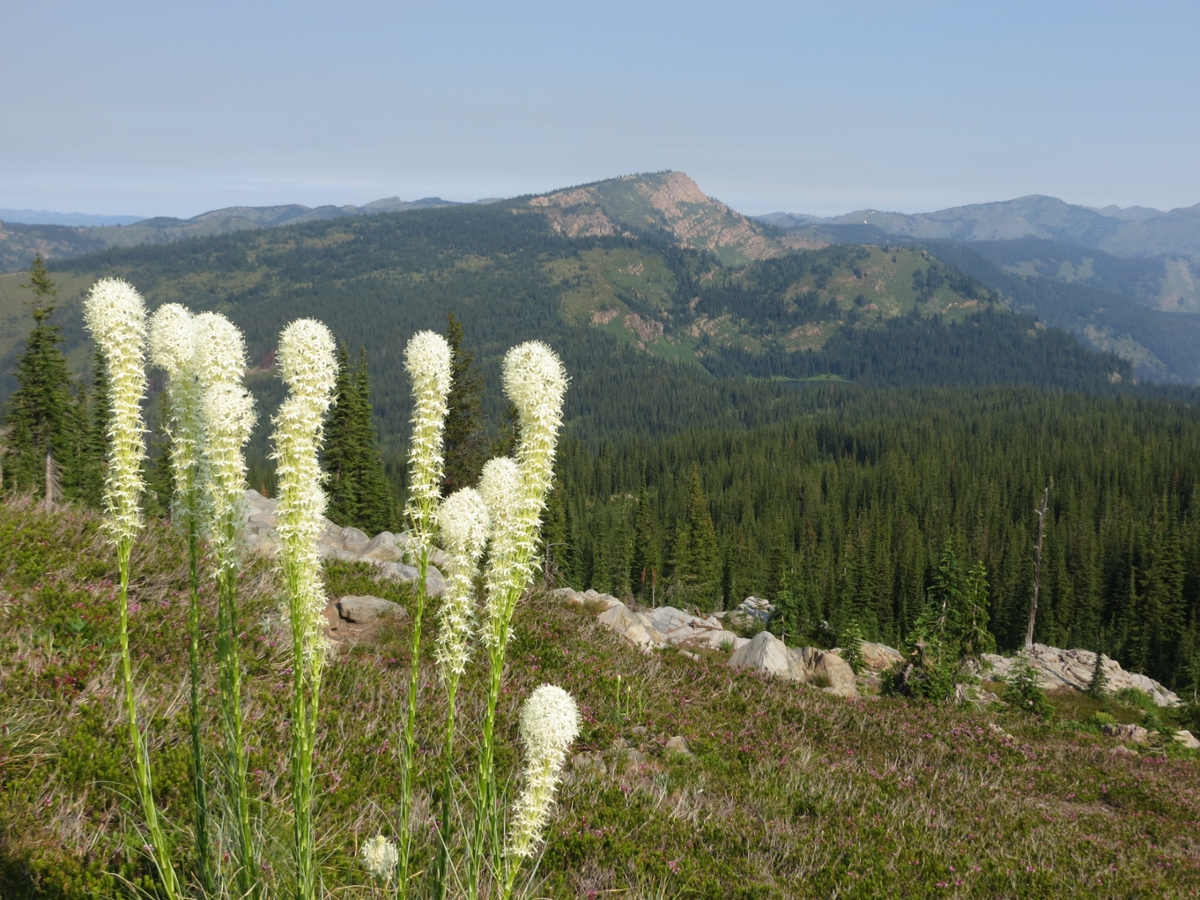
 Bear grass grows in a slice of the Great Burn on the Montana-Idaho border. (Photo courtesy of the Montana Wilderness Association)
“Winds felled trees as if they were blades of grass; darkness covered the land; firewhirls danced across the blackened skies like an aurora borealis from below; the air was electric with tension, as if the earth itself was ready to explode into flames. And everywhere people heard the roar, like a thousand freight trains crossing a thousand steel trestles.” So reads Stephen Pyne’s vivid description of the summer from hell that visited the forests of the northern Bitterroot Divide on the Montana/Idaho border in 1910.
From May through August of that year little rain fell, and the snow had disappeared from southern slopes by April. Vegetation was rendered tinder-dry. In July, hundreds of fires, some lightning caused but most by careless people, were burning. For a while they were controlled, but on Aug. 20, high winds (called “Palouse winds” because they came from windy eastern Washington) brought smoldering embers and smaller fires to life, sparking an enormous conflagration and fire tornadoes. It wasn’t until Sept. 4 that rains finally came and halted the inferno’s advance. When it was over, more than 3 million acres had been consumed, and the mining town of Wallace, Idaho, was destroyed. The landscape was forever changed.
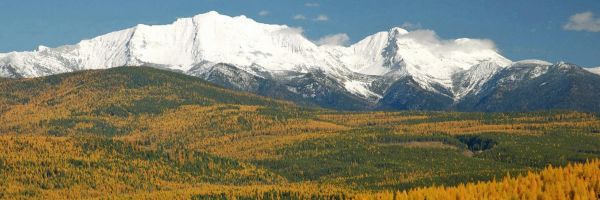
The forests came back, and some burned again. However, 105 years later reminders of that fiery summer still can be found. The event still is much evident in the magnificent 250,000-acre stretch of wild country 30 miles west of Missoula called the Great Burn. Its landscape reaches across the Montana/Idaho line with 98,000 acres in Montana. This, the largest unprotected roadless area left in the lower 48 states, stretches from Granite Pass on the south to Hoodoo Pass in the north. In a straight line on the Montana side, it covers about 32 miles.
Thousands of standing dead snags and large open spaces define the place. Had it remained free of fire since 1910, dense tree cover probably would have dominated the area. However, subsequent fires burned the regrowth lodgepole before they could sprout seeds. Hence, grasses took over, creating vast stretches of meadows and parklands filled with wild flowers. Bill Cunningham, author of “Wild Montana,” calls them the “lowest elevation true tundra in Montana.” These fire induced tundra lands resemble those found in the Beartooth at elevations from 4,000 to 6,000 feet higher.
The Great Burn doesn’t have towering jagged summits and ridges like those of the Bitterroots south of Lolo Pass, but it is still rugged and mountainous. Elevations range from 3,200 to 7,700 feet, creating some impressive relief. Slopes are steep and in many places dense with tag alder. Hiking off-trail is tough. Stair-step waterfalls cascade clear cold water from the higher terrain into creek bottoms lush with ferns. In some places, these narrow valleys shelter 600-year-old red cedars that escaped the 1910 holocaust. More than 30 deep blue lakes spot the length of the divide and provide habitat for cutthroat, rainbow and golden trout. Some 1,000 elk call this pristine country home.
As these mountains are well west of the Continental Divide, they often are visited by clouds and ample moisture. Afternoon summer thunderstorms are common, and snow lies deep in winter.
A 140-mile trail system on the Montana side covers the area well. The most interesting of all of them is the 40-mile State Line Trail that follows the northern Bitterroot Divide, skirting the western edge of the Montana segment. Past Goose Lake and north, this route stays with the divide. South of there it deviates somewhat from the crest.
The best entry to the Great Burn Roadless Area is from the Clearwater Crossing Trailhead about 17 miles west of Interstate 90 north of Alberton and accessed via the Fish Creek Road. Hoodoo Pass is reached from Trout Creek Road (on the north end, near Superior, Montana) and Granite Pass off a trail leading northward from Lolo Pass. In the winter, plowed roads (check with the Lolo National Forest) open up good cross-country skiing opportunities.
Although the area is not in the federal wilderness system, the Great Burn is as wild as any other designated place (to date the Forest Service has protected it) and deserves the lasting safety that wilderness status would give it. Politics have prevented its inclusion so far.
The best overall map is the Lolo National Forest Visitor Map. It shows the USGS topographic maps that you would need, depending upon the area you plan to enter. Cunningham’s book, “Wild Montana,” published by Falcon Press, has more information on hiking and use here.
Department of Geography | University of Montana | Rick and Susie Graetz