In any dissertation about Montana’s rivers, the Marias deserves coverage owing to its historical significance, as it posed a temporary obstacle and question mark for the Corps of Discovery when they first passed through the state in the spring and summer of 1805.
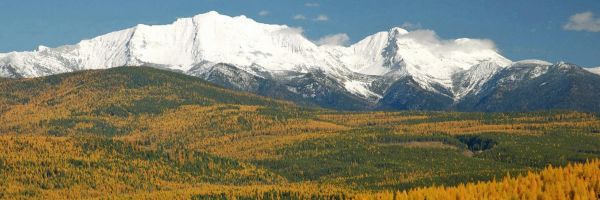
South of Cut Bank and north of Valier, in a rugged broken part of the prairie where badlands and sandstone formations prevail, Cut Bank Creek and the Two Medicine River join forces to jumpstart the Marias. The Two Medicine River begins deep in the Rocky Mountain Front in an area sacred to the Blackfeet Nation. Cut Bank Creek also takes its initial waters from the Rocky Mountain Front, just off of the Hudson Bay Divide in Glacier National Park.
On June 8, 1805, Meriwether Lewis named the Marias in honor of his cousin, Maria Wood, hence Marias River.
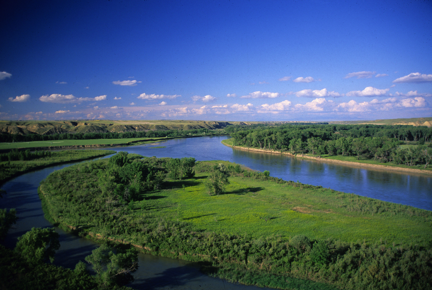
The namesake river of Lewis’s cousin flows for about 170 miles, twisting and turning through deep canyons and a magnificent prairie landscape toward the Missouri. Unfortunately, 20 of those miles are contained in Lake Elwell by Tiber Dam. The last 80 miles, though, flow unrestricted through a landscape many folks consider a lesser version of the white rocks section of the Missouri in the Upper Missouri Breaks National Monument.
Two miles before its end, the Marias takes in the Teton River, itself a product of the Rocky Mountain Front. Together they flow under the U.S. Highway 87 bridge at Loma and turn over their waters to the Missouri.
On June 2, 1805, Lewis and Clark began a 10-day stay at the then-meeting of the Missouri and Marias rivers. In 1950, a flood diverted the course of the Marias, forcing it to enter the Missouri nearly one mile further upstream, thereby altering its physical location in history. The former channel is still visible.
Up until June 2, 1805, the information supplied by the Hidatsa Indians to the expedition proved to be most accurate. On that date, however, the Corps encountered something not shown on the crude maps they possessed. The Missouri they had followed for so many months appeared now to split into a north and south fork. The Indians had made no mention of another major waterway after the Milk River coming from the north. They only specified that the explorers would meet a great waterfall, and then soon thereafter the river would enter the mountains.
The two leaders were fairly sure the south fork was the Missouri, but the crew was convinced otherwise. Joseph Whitehouse, a member of the Corps, noted in his journal on June 3, “our officers and all the men differ in their opinions which river to take.” Characteristic of their excellent leadership, the captains agreed to explore both branches so all would be assured.
On June 3, 1805, Lewis scripted, “to this end an investigation of both streams was the first thing to be done... Capt. C. & myself stroled out it to the top of the hights in the fork of these rivers from whence we had an extensive and most inchanting view... to the south we saw a range of lofty mountains” (most likely the Highwoods, east of Great Falls).
The “top of the hights” the captains climbed is now marked as Decision Point and is reached via a dirt road just south of Loma. Below this spot and closer to the river, the expedition built caches, storing supplies and a red pirogue, to be retrieved on their homeward journey.
Upon completion of their separate inquiries, the two captains agreed to the south fork being the correct path, and thus the Expedition proceeded forward.
Rick and Susie Graetz | University of Montana | Department of Geography