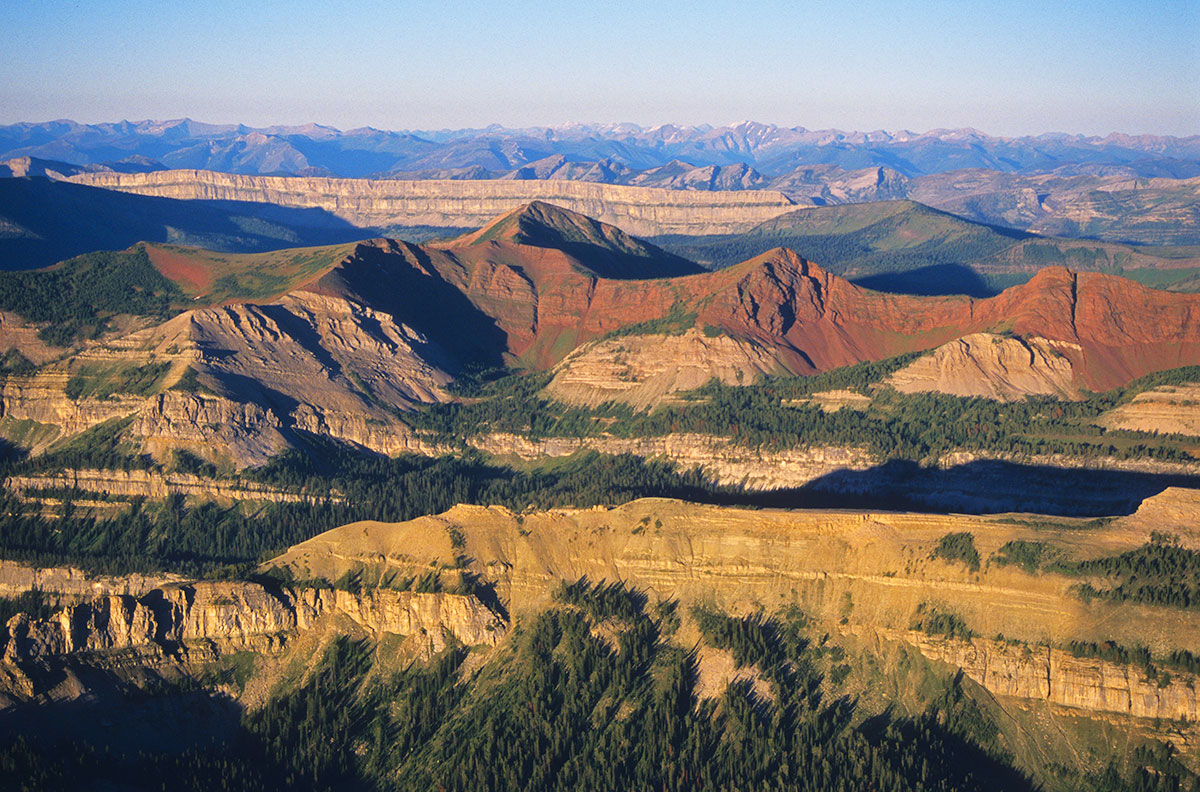
 Photo: The Chinese Wall rises above the unspoiled Bob Marshall Wilderness in western Montana. Courtesy of Rick and Susie Graetz.
Although Montana’s history may be young, it certainly is deep, and much of its evidence is written on the land.
Knowing that an old trail – the Mullan Wagon Road – followed the Clark Fork River, explains scars along a bench or hillside and the disappearing pieces of a cribbage that supported a bridge. Awareness that Indian tribes traversed the Rock Creek country of northeast Montana explains the circles of stones in succession on a ridgeline – tipi rings.
Recognizing and appreciating Lewis and Clark and the Corps of Discovery’s time in Montana is essential. When Lewis penned his journals on the night of April 27, 1805, he was recording the first written history of Montana. Big Sky Country was uncharted and cloaked in ambiguity. These explorers mapped the land and noted all they witnessed, thereby hoisting the veil. Their account was one of not only biological wonders and magnificent country, but also of wealth. Again, distinguished UM Professor K. Ross Toole explains, “Although they left only the ashes of their campfires behind, Montana would never be the same again.”
After studying the words of Meriwether Lewis and William Clark, it is essential to learn of the fur trade. The trappers, or “mountain men” as they were often referred to, took over where Clark, the topographer, left off. Their wanderings to almost every quarter of Montana provided more detailed mapping – small compensation for what they took in return. Their mark on our terrain was one of exploitation, setting a pattern that continues to this day. In addition, they had a profound and disastrous effect on the Native American people.
The ensuing steamboat era, lasting from 1859 through 1888, followed. It started when high waters of the early summer of 1860 brought the steamboat Chippewa to Fort Benton, providing accessibility to the soon-to-be Montana Territory. And the chronology of our underpinnings marches on – the mining, the railroad, the so-called Indian Wars and the Homestead Era, to name a few. To know these happenings is to better appreciate the terrain of the present.
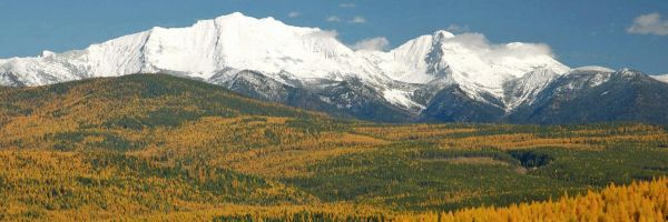
It’s a big chunk of ground, this Montana. Drive from Troy on the Idaho line in the northwestern corner of the state to Alzada in the far southeast and your iron chariot will up its odometer 800 miles. Cruise across the Hi-Line from Troy to the North Dakota border and it’s an easy 658 miles.
No doubt, pockets of our state’s geography have changed dramatically and lost much of their openness and old Montana flavor. Yet nearly everywhere in this state, even on the fringe of areas thick with development, it is still possible to find, within a short distance, the simple grandeur of the prairie, a quiet meadow, a rippling stream or a trail leading to a mountaintop, where we can drink in the simple freshness that replenishes our souls and picture the not-so-long-ago Montana.
A vivid portrait for all who will seek it ... This Is Montana!
Rick and Susie Graetz | University of Montana