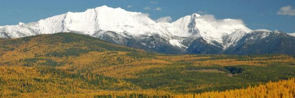
 The Cabinet Mountains from the Libby side (photo by Rick and Susie Graetz)
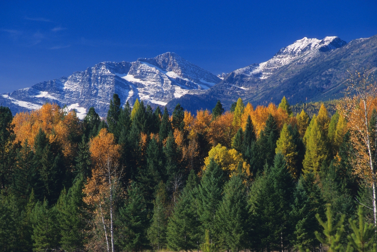
The Cabinet Mountains, just to the west of Libby, are the dominate range of northwestern Montana. They extend about 80 miles along a northwest-southeast axis and are bordered by the Idaho state line on the west, the Clark Fork River and Hwy 200 on the south, Thompson River on the east, and the Kootenai River and Hwy 2 on the north.
The Cabinet Mountain Wilderness forms the core of the range. This 35-mile-long wild area of nearly 100,000 acres consists of jagged peaks, high lake basins and open country with spectacular alpine views. The summits are relatively low, but the surrounding elevations are among the lowest in Montana, and so the resulting relief creates formidable-looking mountains. The highest point in the range is 8,712-foot Snow Shoe Peak. The Cabinets themselves are the highest mountains between Glacier Nations Park and the Cascade Range of Washington to the west. As such, they form one of the first major mountain barriers to eastward-flowing Pacific storms that can drop up to 100 inches of precipitation here each year.
UM Department of Geography