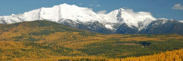
 Pryor Mountains and Big Horn Canyon (photo by Rick and Susie Graetz)
The Pryor Mountains, home to red desert, ice caves and wild horses, is one of the most unique pieces of Montana’s mountain country. From the Yellowstone River Valley and the big-little town of Billings, these Pryors appear as hills when compared to the towering Beartooth peaks 30 miles to the west. But their looks are deceiving. The view from an airplane flying just beyond their flanks, especially along the east face, reveals a steep, rugged and high landscape.
Named after Nathaniel Pryor of the Lewis and Clark Expedition, the Pryors rise from the heart of traditional Crow Country. Still used for vision quests today, this treasured land contains sacred sights and ancestral burial grounds. In order to safeguard these cultural and religious places, the segment of the Pryors located on the Crow Indian Reservation is closed to non-tribal members.
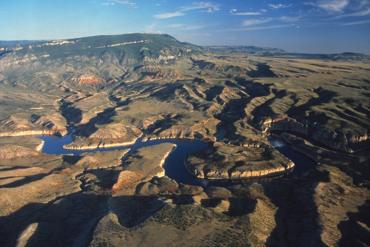
The Pryors are made up of two high ridges, each about 20 miles across. The northern stretch is within the boundaries of the Crow Reservation; here the highest points, a little over 7,300 feet, descend gradually into lower timbered buttes. An 8,500-foot-high reef of limestone with sharp drop-offs makes up most of the west side of the range. The eastern perimeter declines from wooded ridges to lower hills that are abruptly ended by the sheer walls of the Big Horn Canyon National Recreation Area, a places of reefs, mesas and deep canyons.