Wetland Mapping and GIS Lab
OCRMW’s GIS Specialists create digital wetland and riparian maps through photointerpretation. Photo interpreters inspect infrared aerial imagery, digital elevation models and other resources when creating wetland and riparian maps, which are then classified according to National Wetlands Inventory (NWI) standards. Additionally, GIS Specialists assign hydrogeomorphic attributes (LLWW), and ecological and functional characteristics (NWI++) to our wetland and riparian mapping products.
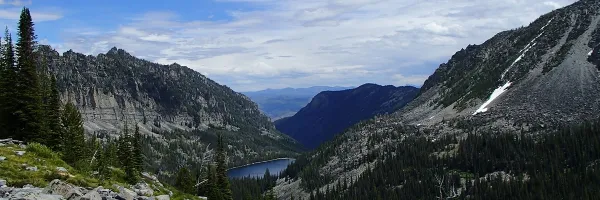
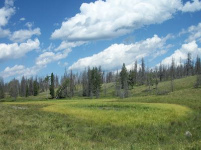
Accurate wetland mapping is a vital tool for public land managers and others who make decisions related to management, conservation and restoration of natural resources throughout the West.
We are currently mapping wetlands throughout Montana and other western states (AK, CA, CO, ID, OR, NV, UT, WA, WY), work that is funded by our partners at US Bureau of Land Management, US Forest Service, and the Blackfeet Nation.
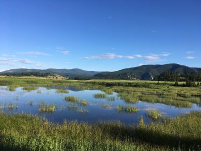
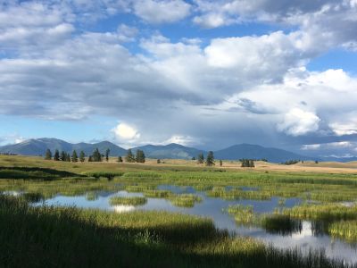
OCRMW and the Montana Natural Heritage Program/Montana State Library host data and information related to NWI riparian and wetland mapping, shown below.
Montana Wetland Mapping Resources
-
Access wetland mapping data for the State of Montana and ancillary datasets. The statewide wetland layer can also be viewed in our MT Wetlands Assessment Database Map Viewer.
-
View our Wetland Mapping Story Map for a guide to Montana’s Statewide Wetland and Riparian Mapping Framework
-
LLWW is a system of classification that merges the physical and geographic characteristics of wetlands to ascertain a wetland’s potential function. It uses physical traits such as vegetation type or water regime captured by the Cowardin code in the National Wetlands Inventory (NWI) mapping and incorporates four geographic traits of wetlands (Landscape Position, Landform, Waterbody Type, and Water Flow Path). The resulting LLWW code can be used to identify the functions a particular wetland is likely to perform.
-
NWI++ is a value-added product built upon the wetland and riparian mapping dataset for the state of Montana. The queries and analyses provided allow users to quickly identify and quantify wetlands based on a suite of ecological and functional characteristics such as geographically isolated wetlands or wetlands located in highly disturbed areas. The goal of this product is to provide streamlined information to help land managers prepare management plans, mitigation proposals, or NEPA and MEPA documents.
-
View our poster presented at the 2024 Montana Association of Geographic Information Professionals meeting, which was awarded First Place in the Professional category.