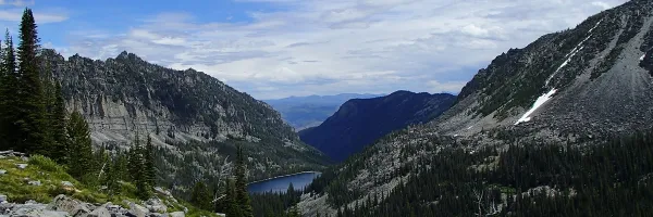
Monitoring
OCRMW supports informed management of public lands in the West. Our team of trained ecologists and biologists collect data in upland, wetland and aquatic habitats, using protocols developed by our own team and by partner agencies. Our GIS and data specialists assist scientists with data analysis. We provide direct support to partner agencies to help them answer questions about the effectiveness of land management actions and report on the ecological health of public land resources. As part of our commitment to science-based public lands management, we provide professional development opportunities for early-career scientists who are interested in pursuing applied science careers in agencies or universities.
Rangelands
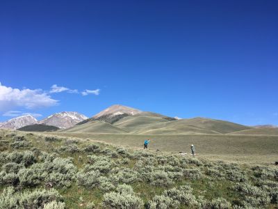
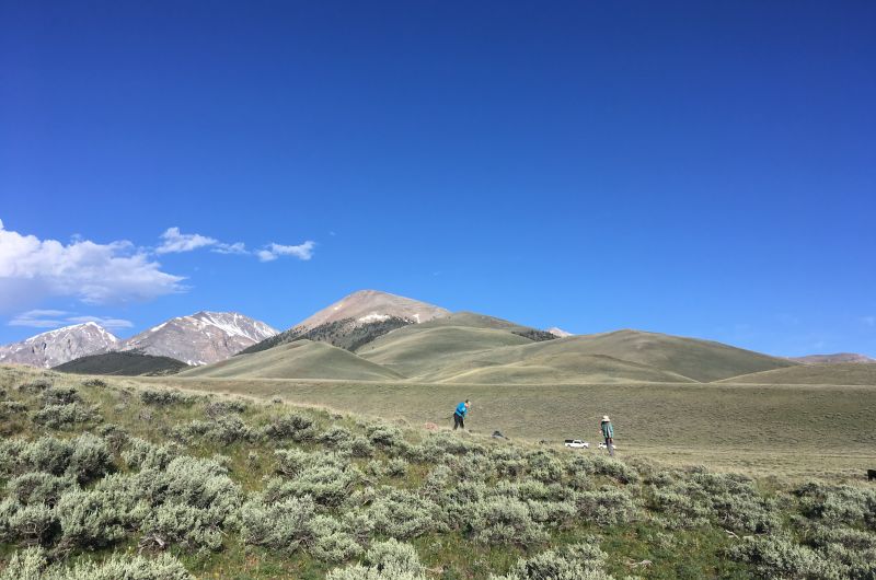
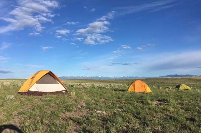
OCRMW partners with the US Bureau of Land Management to collect monitoring data on public lands. The agency uses this data to assess the condition of natural resources and make management decisions. Our crews work throughout Montana and Idaho, collecting vegetation and soils data in grassland and shrubland ecosystems.
Click below for more information on BLM’s rangeland monitoring program!
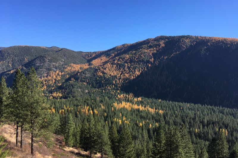
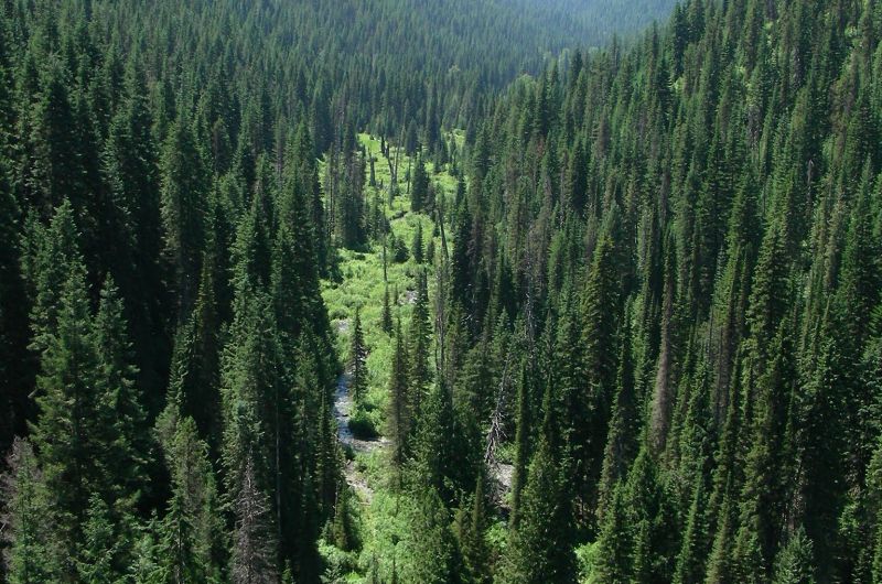
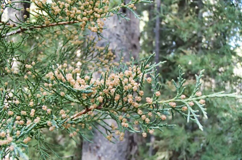
Forests
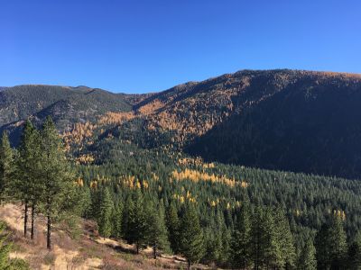
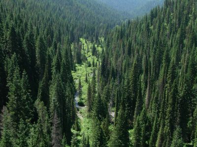
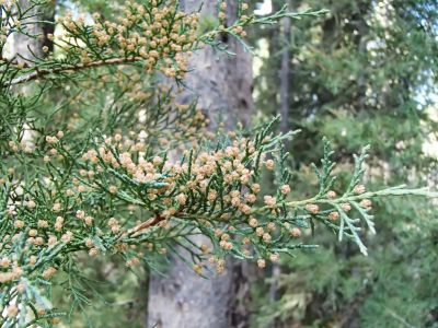
OCRMW partners with the US Forest Service Region 1 through a cooperative agreement focused on workforce development. UM undergraduate students work with professional ecologists to collect data used by federal agencies for planning and management purposes.
- VMap
- Annual Grass Monitoring
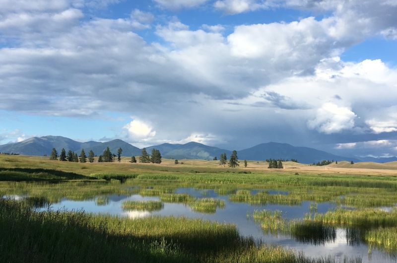
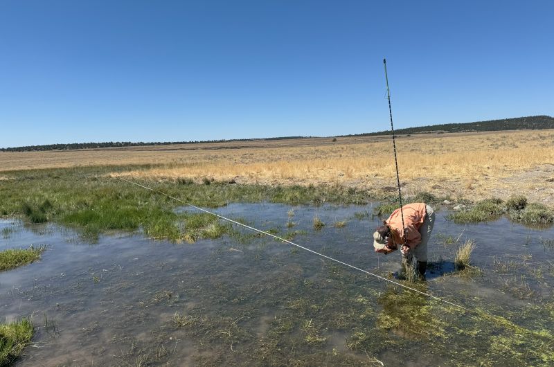
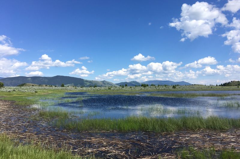
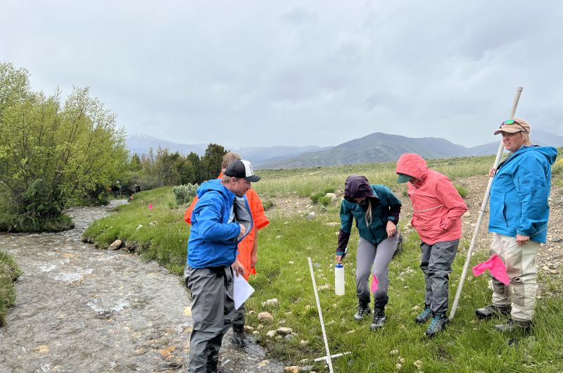
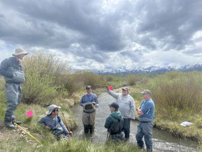
Wetlands
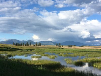
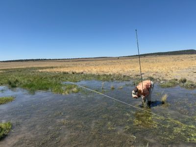
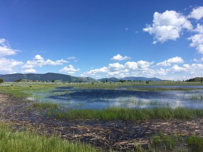
OCRMW partners with federal and state agencies to conduct monitoring and assessment in wetland and riparian areas. These projects support local and landscape-scale decision-making and increase our understanding of critical resources in the western US.
Assessment Inventory and Monitoring (AIM)
The Bureau of Land Management’s AIM Strategy “guides monitoring program development, implementation, and data use for decision makers” – description
BLM Assessment Inventory and Monitoring Strategy
National Wetland Condition Assessment (NWCA)
The NWCA is intended to evaluate the ecological condition of the nation’s wetlands
National Wetland Condition Assessment
Montana Wetland Webviewer
ArcGIS Online webmap designed to store and serve wetland monitoring and assessment data for the state
Montana Wetland Assessment Database Map Viewer
Ecological Integrity Assessment (EIA)
A state-based multi-metric approach to assess wetland condition
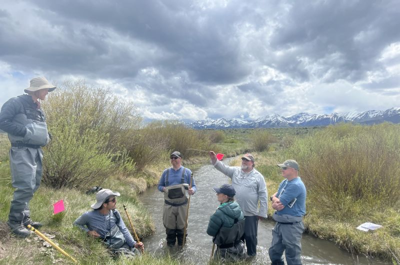
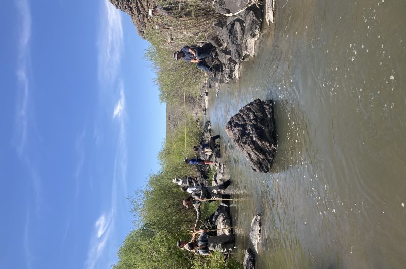
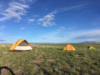
Streams
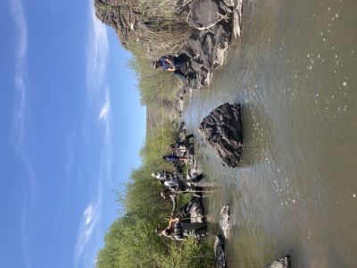
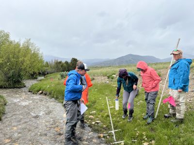
OCRMW partners with the US Bureau of Land Management to collect monitoring data on public lands. The agency uses this data to assess the condition of natural resources and make management decisions. Each year, our crews work throughout Montana, Idaho, and Nevada collecting stream habitat, water quality, and geomorphic data in wadeable streams.

Watersheds
The OCRMW is partnering with the Rattlesnake Creek Watershed Group through a Bureau of Reclamation….
OCRMW is an annual sponsor of the Montana Watershed Coordination Council given the shared interest in supporting watershed groups and their efforts to monitor ecological status and make data-based decisions to improve ecological health.