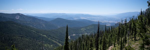
Crown of the Continent
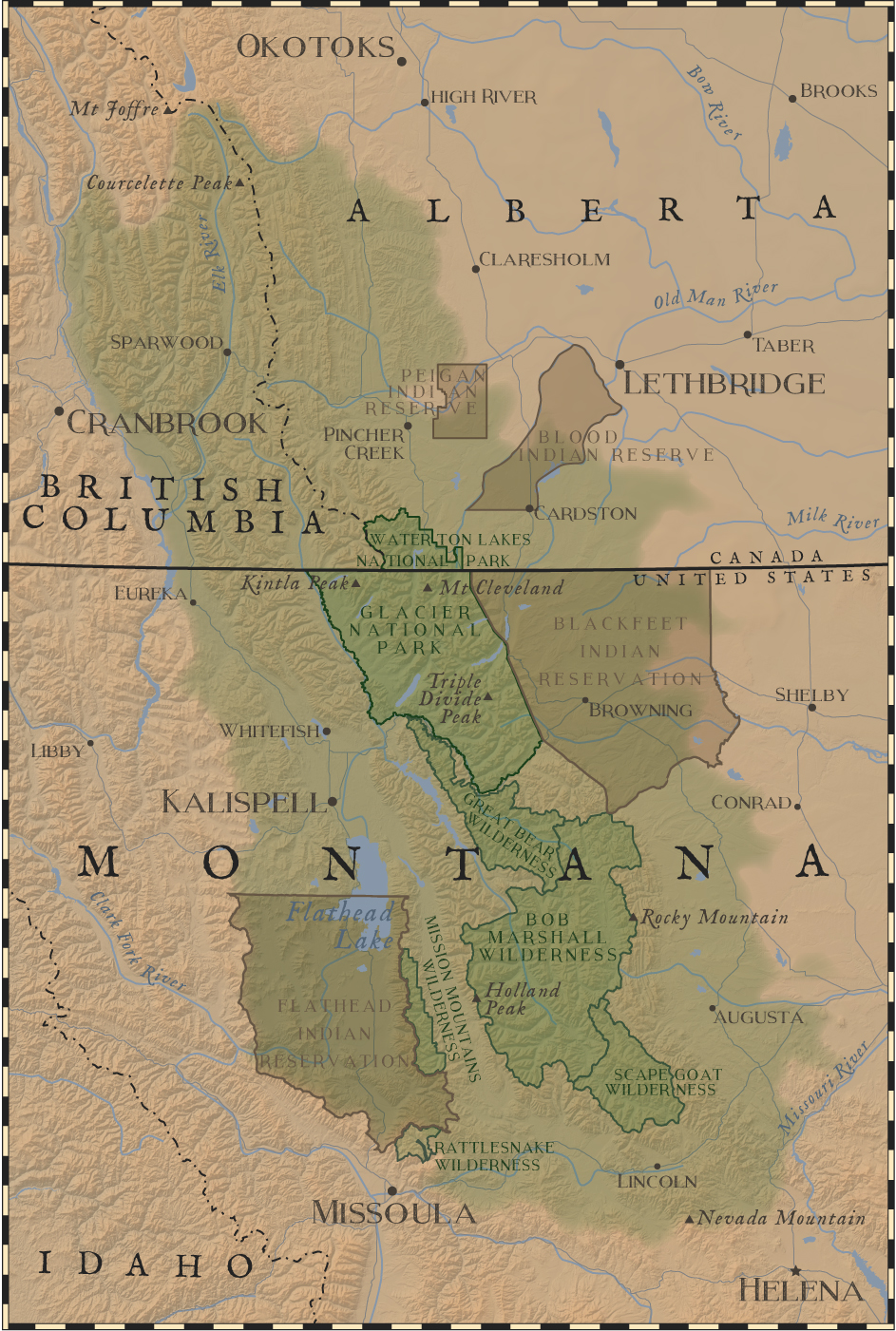
Called the “Backbone of the World” by the Blackfeet Nation, the Crown of the Continent encompasses 10 million acres in the Rocky Mountains of Montana, Alberta and British Columbia. The transboundary region is centered around two national parks, Glacier and Waterton Lakes, which together make up Glacier Waterton International Peace Park. The area reaches from the Blackfoot River valley in the south to Crowsnest Pass and the headwaters of the Elk River in the north. In the west, it is framed by the Tobacco, Flathead and Mission valleys, and in the east, by the Rocky Mountain Front, from the Bob Marshall Wilderness to the open prairies of Montana and Alberta.
The Crown of the Continent is recognized as a world-class ecosystem, a blend of protected places, working landscapes and vibrant communities. It is home to 28,000 square miles of protected parks, wilderness areas and private lands; a remarkable diversity of both flora and fauna; and more than 160,000 residents living at the Rocky Mountain confluence of Montana, Alberta and British Columbia. Missoula, its southern gateway city, is host to the University of Montana, where researchers use the Crown as a laboratory to study how natural systems work and how they are affected by human management.