
![]()
Welcome to the NTSG
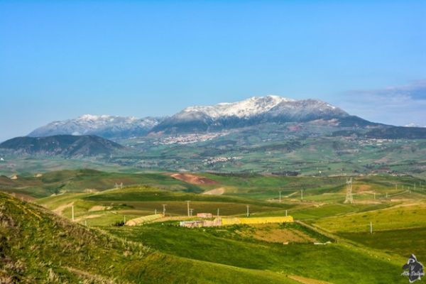
The Numerical Terradynamic Simulation Group (NTSG) operates as a Research Center of Excellence under the University of Montana (UM) Office of Research & Creative Scholarship. Founded in 1987 within the UM College of Forestry & Conservation, NTSG is a nexus for UM research and technology development in satellite remote sensing and Earth system science. Our primary mission is to advance knowledge of ecosystem structure, function & resiliency through emerging technologies in remote sensing & computational modeling, grounded in the biophysical sciences. Our facilities are located on the 4th floor of the Interdisciplinary Science Building (ISB) on the UM campus.
Recent Science Highlights

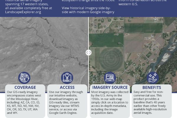
New Landscape Explorer tool released to assist natural resource conservation in the western US
The NTSG is excited to share a new resource with the GIS community and natural resource managers: historical aerial imagery spanning 17 western states, all available completely free at LandscapeExplorer.org
NTSG Publications
NTSG supports several NASA satellite Earth missions and is a leader in developing operational algorithms, data products and science applications for these missions. We are a NASA Earth Science Information Partner(ESIP), developer and repository for a variety of global land data products from satellite Earth missions, including MODIS (MOD16/17) vegetation productivity and evapotranspiration, AMSR land parameters, and SMAP (L4C) carbon flux products. Access our data through the Projects and Data page.
NTSG Data Products
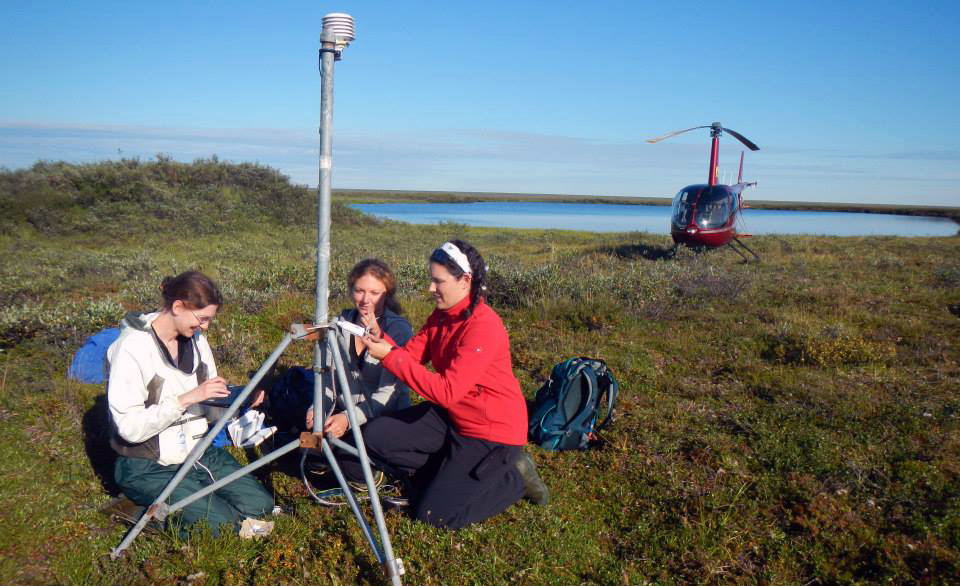
Research Students
NTSG teaching/instruction emphasizes research training for postdocs and GRAs in the skills needed to become effective research scientists in ecological remote sensing and modeling. These skills include writing competitive research proposals; writing and publishing research papers in peer-reviewed literature; application of geospatial software and computer programming for processing and analyzing large global satellite datasets; management of interdisciplinary research projects and field campaigns. We provide our GRAs and postdoctoral scholars with state-of-the-art remote sensing data and science computing facilities; opportunities for travel, science leadership, and networking, and presenting their work at national and international workshops. For additional information on:
- Graduate Research Assistance positions email NTSG at info@ntsg.umt.edu
- Postdoctoral applications are found on the NTSG Jobs page
- Current class information is found on the NTSG Teaching page