Mines and Reservoirs
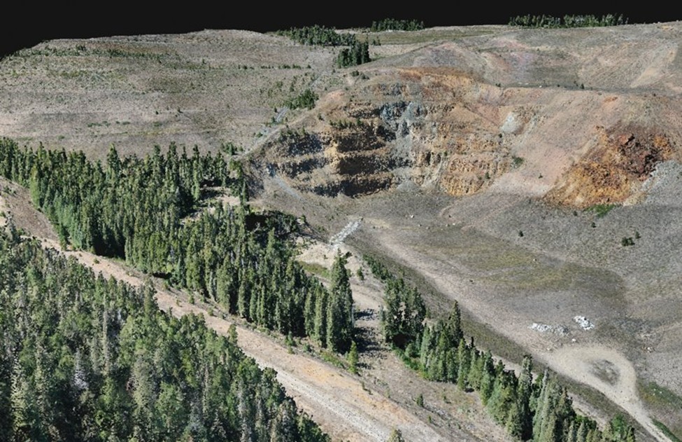
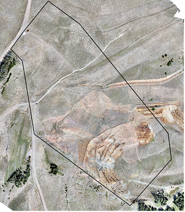
The University of Montana with the U.S. Forest Service worked to assess appropriate remote data acquisition procedures and technological platforms for developing baseline and multi-year monitoring programs. The Beal Mine project developed and explored the feasibility of year-by-year monitoring through the use of a variety UAS platforms. An area roughly 350 acres in size was flown in the years 2021, 2022 and 2023.
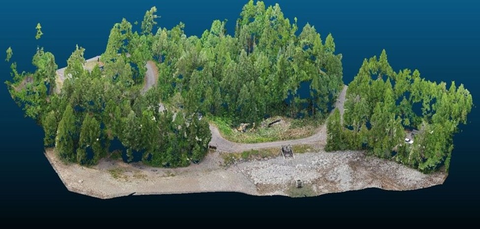
We also provided remote data acquisition and processing assistance to support baseline workflow development for dam monitoring/change detection. Our office assisted with the establishment of baseline conditions by collecting, processing, and distributing spatially referenced aerial imagery. Primary objectives were to determine moving, bulging, and seepage of dam structure and any potential surrounding geologic instability. Results of this multiyear project helped to support the US Forest Service decision to drain the lake to repair the 70 year old dam.