Abandoned Mining Land Survey with Intern Gabi Neely
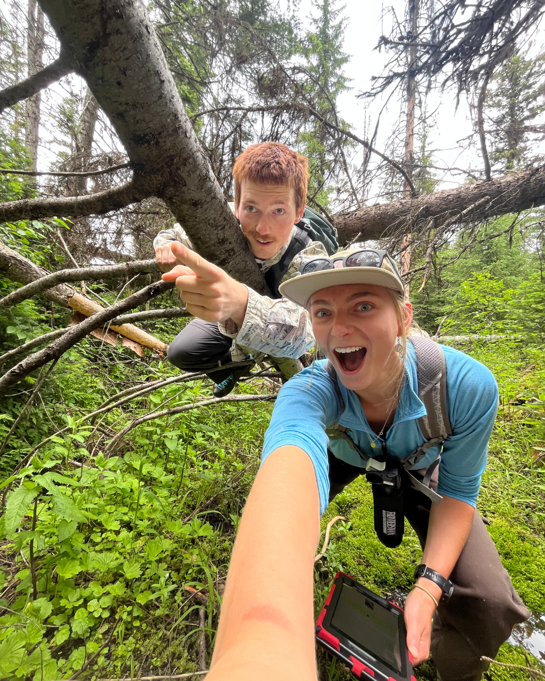
Hi everyone! My name is Gabi Neely and I was a NRIC intern this summer based in
Kamiah, Idaho working as a Mineral/ Geological Resource Steward on the Nez
Perce-Clearwater National Forest. Over the course of my three month long internship, I was
able to explore parts of the vast 4.3 million acres that the Nez Perce-Clearwater has to offer.
Some of my field work included suction dredging mine inspections, fish habitat surveys, and
culvert quality surveys. By far my most memorable project of this summer was Abandon Mining
Land (AML) surveys. This was the main project Cray Silva, the other NRIC Mineral Steward,
and I were able to assist throughout the summer. We were able to apply Geological Information
System (GIS) skills learned from our classes taken at the University of Montana and apply them
in preparing to go out in the field.
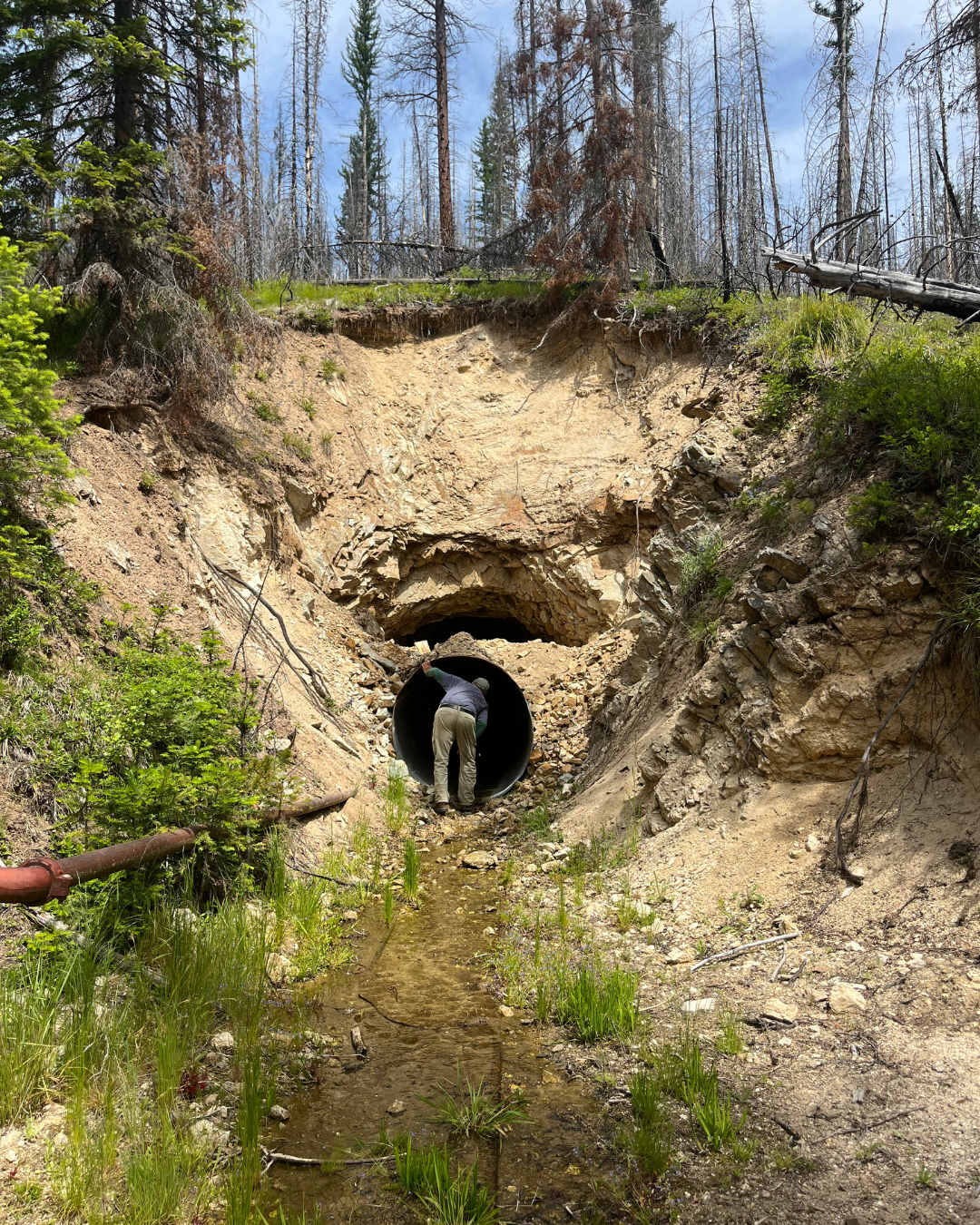
IGS map to determine the accuracy of AML sites, as they were easy to spot due to the darker color with the higher change in slope. This would help me have the exact location of sites so I would know exactly where I am going in the field rather than wandering around a given area for sites. Once in the field, we would use Survey123 to collect data and assess any environmental hazards or hazards that could potentially be a risk to the public.
Once accessed, structures would be collapsed, closed in, cleaned up, or installation of bat gates would be proposed based upon the hazard rating in the survey. I would also take field sketches of each site with structures, equipment, wasterock piles, and other topological features present. Having this opportunity to work on a project like this was such an amazing experience and I learned so many skills not only in the geoscience field but in the hydrology and fisheries fields as well. After I graduate from undergrad, I hope to pursue a career in geosciences or hydrology. By having the experiences I gain from AML data collection I gained an amazing skill to have in my “toolbelt of knowledge” that will be useful for other jobs down the road!