Meet the Team
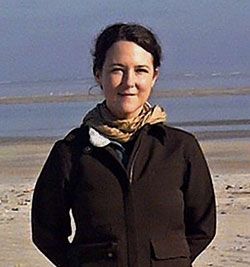
Jessica Mitchell
Jessica Mitchell joined the Spatial Analysis Lab as director in 2018. Mitchell has a background in environmental planning and completed a PhD in Engineering and Applied Science at Idaho State University in 2011 with a focus on rangeland health and invasive plant species. Her research combines remote sensing with targeted ground surveys for target detection. Vegetation management projects that Mitchell oversees scales vegetation structure, canopy chemistry and biodiversity variables from leaves and individual plants to plots, landscapes and regions. Some of the data she works with are traditional plot-based measurements; ground and airborne laser returns (lidar); reflectance spectroscopy (hyperspectral) estimates; and time-series satellite observations. Applications are user-driven and include invasive species, plant chemistry and forage quality mapping; linking plant diversity across trait, species, functional and environmental variables; and developing scalable high-resolution shrub structure products. (Mitchell_CV)
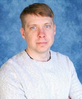
Rustin Bielski
Rustin Bielski is a Remote Sensing Data Scientist who completed his M.S. in Data Science at the University of Montana in 2026 after earning a B.S. in Wildlife Management from Salish Kootenai College on the Flathead Indian Reservation. His work spans geospatial modeling, ecological surveillance, clinical neuroimaging, and includes building segmentation models, decision-support tools, and interactive applications. Prior to data science he performed field and lab work monitoring native plant and pollinator populations, and aquatic lake microbiology. Rustin is tech founder of a startup, Zubr, which is developing scalable intelligence tools for materials analysis. (Bielski_CV)
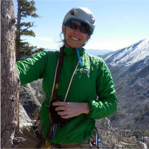
Claudine Tobalske
Claudine Tobalske, currently a faculty affiliate, has been at SAL since 2008. She has over 25 years of GIS experience in the field of natural resources conservation and management, starting as a Ph.D. student at SAL, then as a GIS analyst and ecologist for the Oregon Natural Heritage Information Center, on to her current position at SAL. Her interests range from wildlife habitat models to vegetation mapping using remote sensing at different scales, from 1m NAIP to 30m Landsat. She has extensive experience with the full suite of ESRI products and image analysis software such as Erdas Imagine and eCognition. (Tobalske CV)
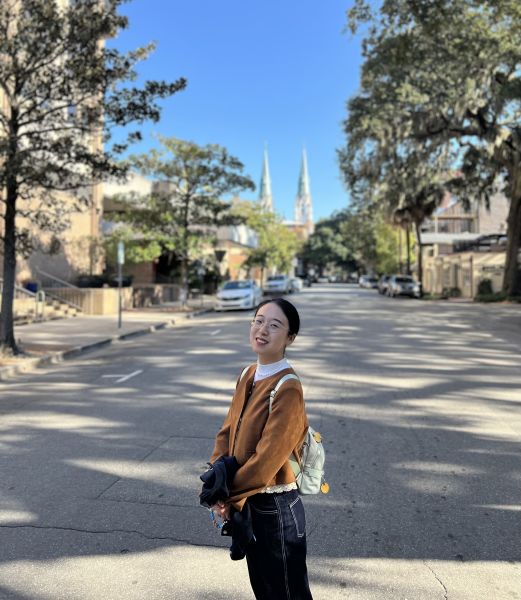
Ming Shen
Ming Shen is a research scientist specializing in remote sensing, GIS, and GeoAI applications for environmental and ecosystem studies. She holds a master’s degree in Data Science and a doctoral degree in Geography from the University of Tennessee, Knoxville. Her research focuses on integrating geospatial data, satellite imagery, field observations, and computational modeling to monitor and understand landscape-scale environmental changes. She has experience applying remote sensing approaches to vegetation dynamics, invasive species mapping, water quality monitoring, forest carbon dynamics, and broader natural resource and ecosystem management questions. Ming is currently a postdoctoral researcher in the Department of Geography at the University of Florida, and an affiliated researcher with the Spatial Analysis Lab on remote sensing-based mapping and monitoring of Ventenata dubia in Montana. (Shen_CV)