River and Stream Studies
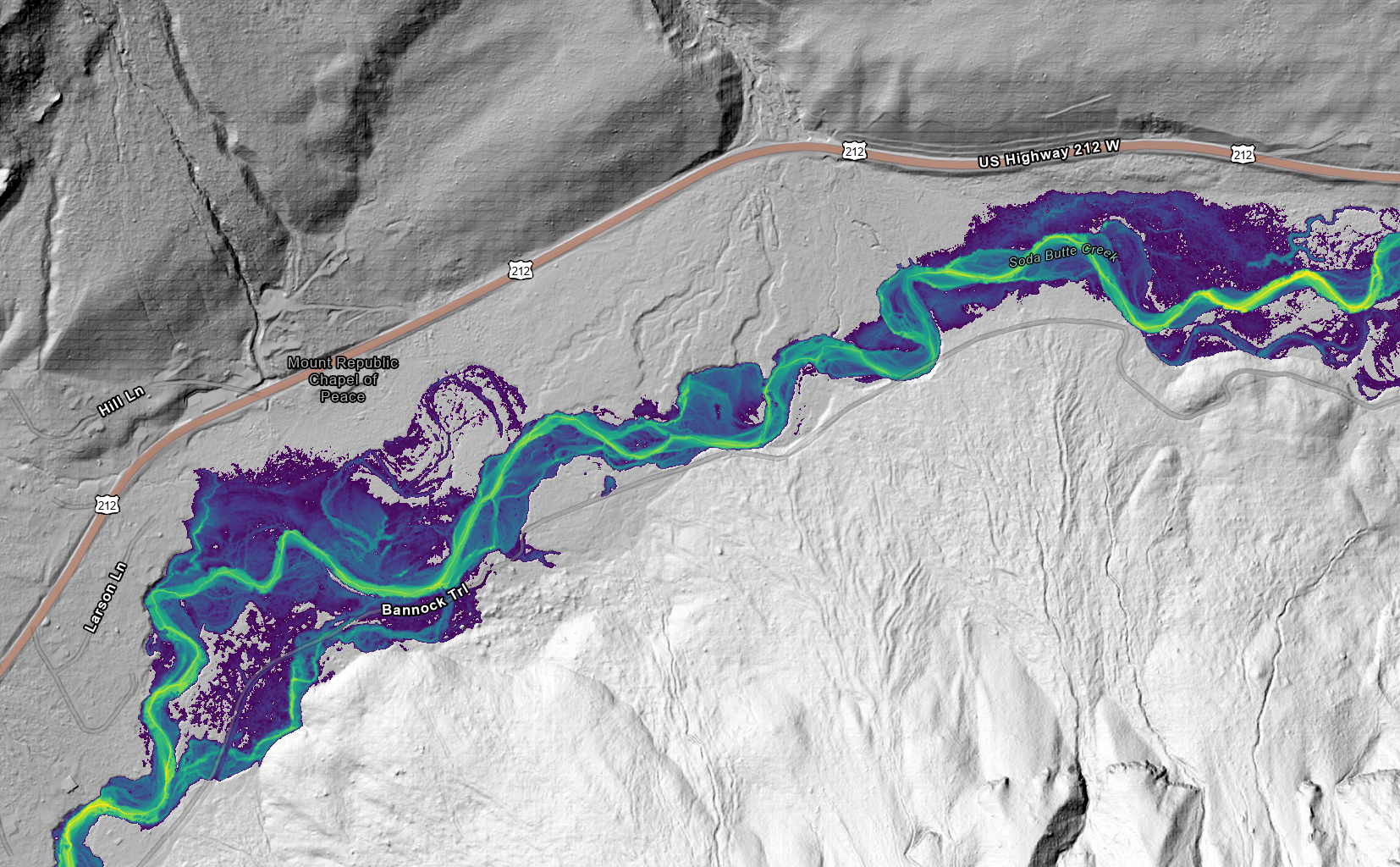
A hydrologic model was generated to analyze potential flood events along an approximately 5-mile reach of Soda Butte Creek near Cooke City, MT, on behalf of Trout Unlimited. The purpose of this project was to understand how various flow events interact with the local mountain stream environment and surrounding flood plains. To accomplish this, the Army Corps of Engineers' HEC-RAS 2-D software was used to simulate streamflow over a high-resolution, bare-earth aerial lidar elevation surface. The model's hydrologic inputs were driven by historical discharge and stage data from a local United States Geological Survey stream gage, which provided flow statistics including the large June 2022 flooding event. Ultimately, this model was developed to calculate precise water depths and flooded extents for a range of scenarios, from 10-year up to 500-year flow events.
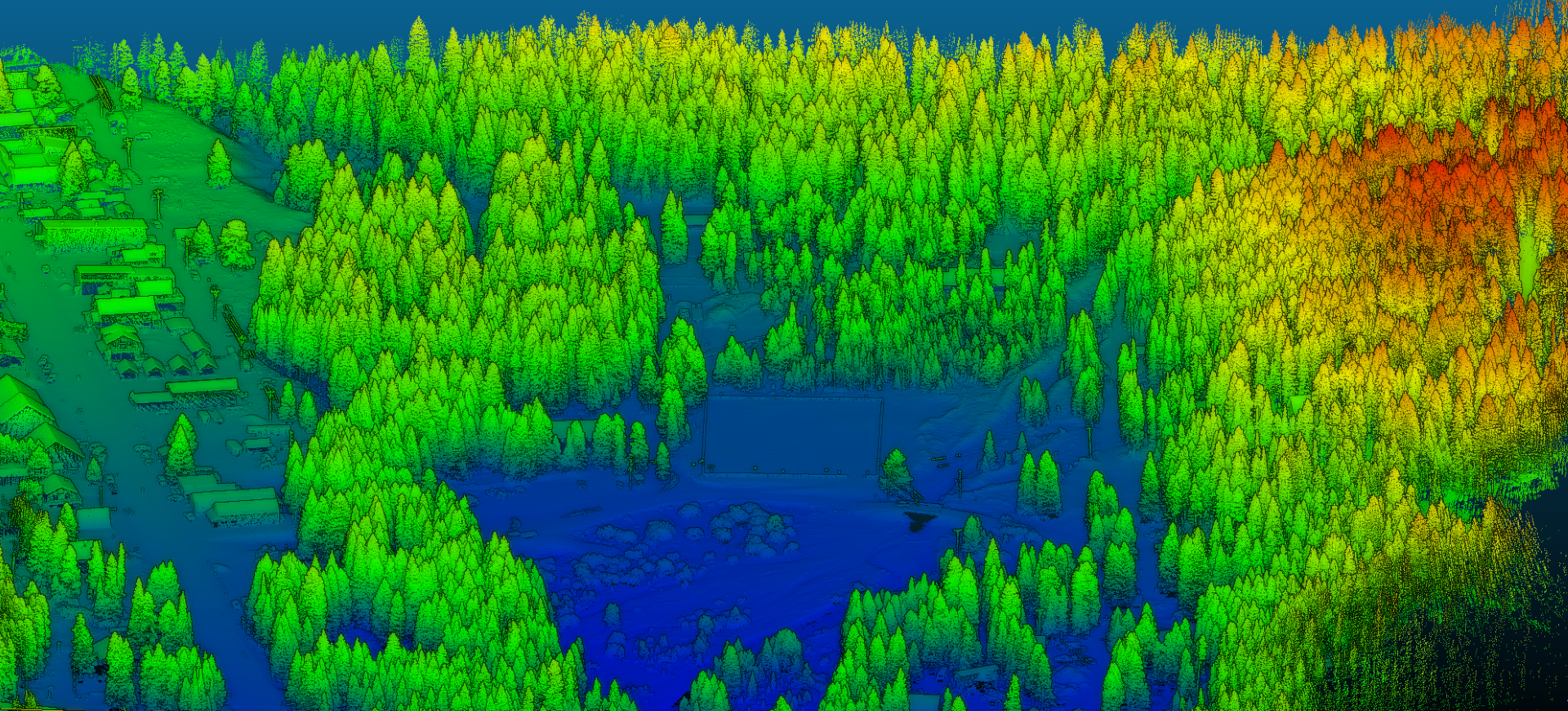
Our team also collected high resolution LiDAR and RGB imagery along Soda Butte Creek. The LiDAR was focused on the confluence of Soda Butte and Woody Creek, and the RGB imagery was for the entire 5-mile reach along Soda Butte Creek. Trout Unlimited will be using this data for future stream restoration, habitat monitoring, and infrastructure repairs.