Wildfire Management
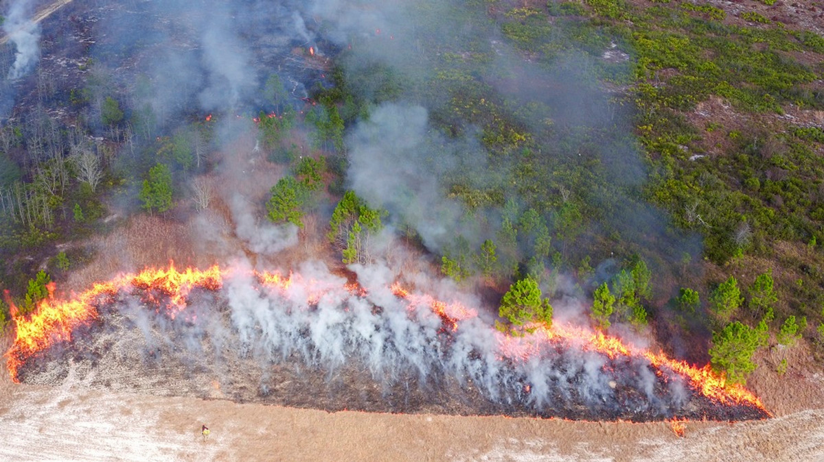
We work with UM's FireCenter to increase fire management awareness by developing algorithms that distinguish fire zones from aerial imagery, and determine effects of fire over time.
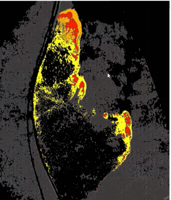 In addition, we used RGB, Short Wave Infrared, and Mid Wave Infrared imagery of active wildfires to create training datasets which we then used to classify images such as the one on the right where orange represents actively burning areas, red depicts intense heat, yellow is smoldering, and black shows the burnt area.