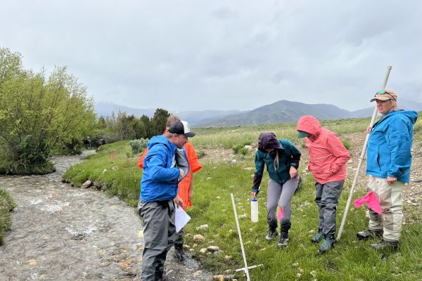
OCRMW’s GIS Specialists create digital wetland and riparian maps through photointerpretation.
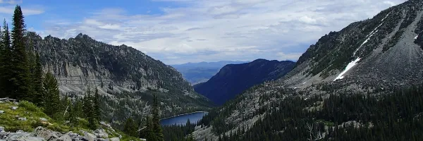
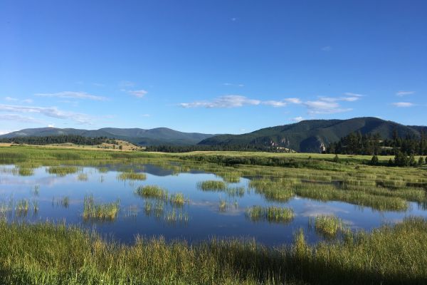
OCRMW supports informed management of public lands in the West.
Our philosophy